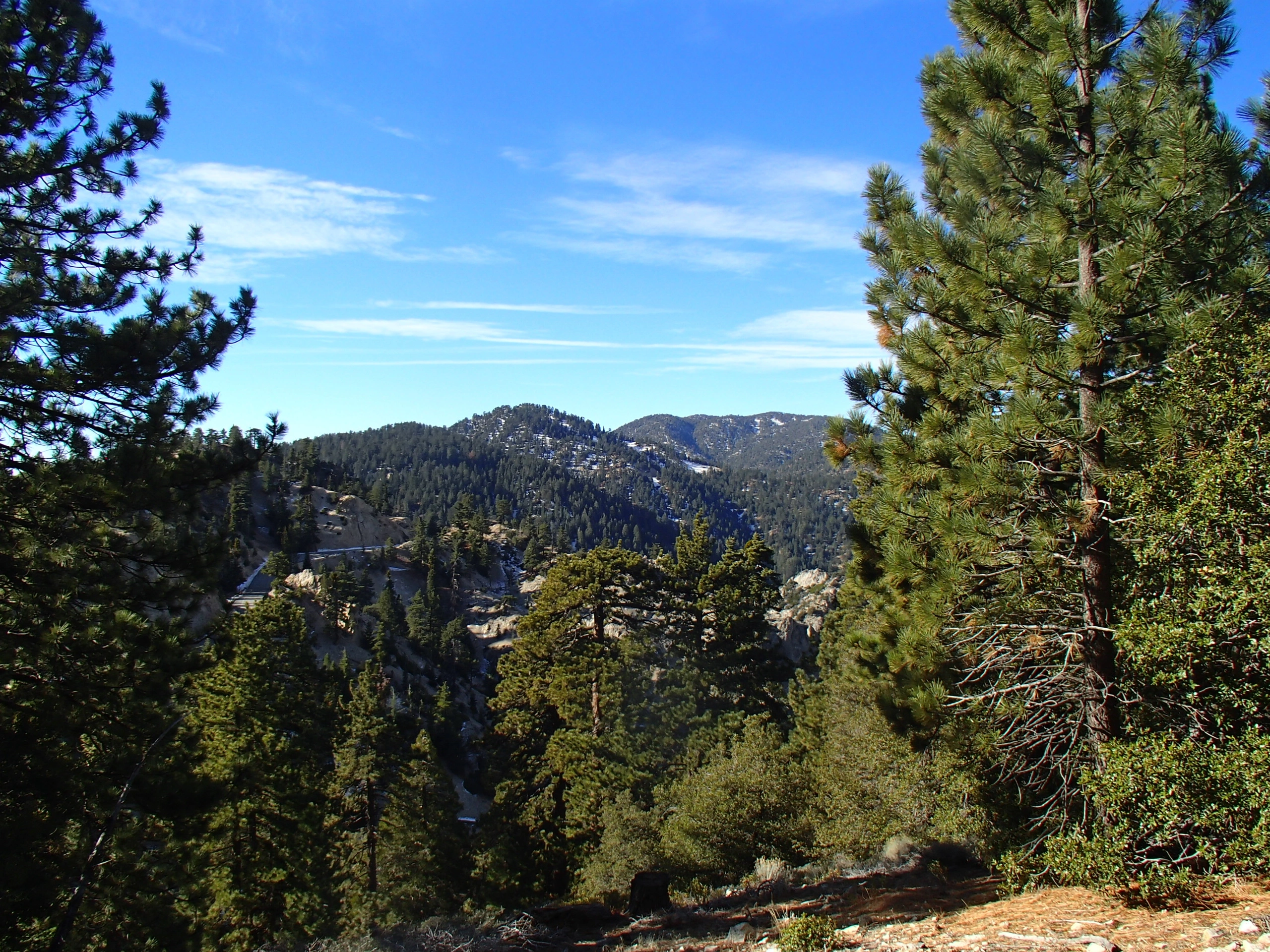
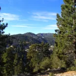
Kratka Ridge, photo by Sharon Moore
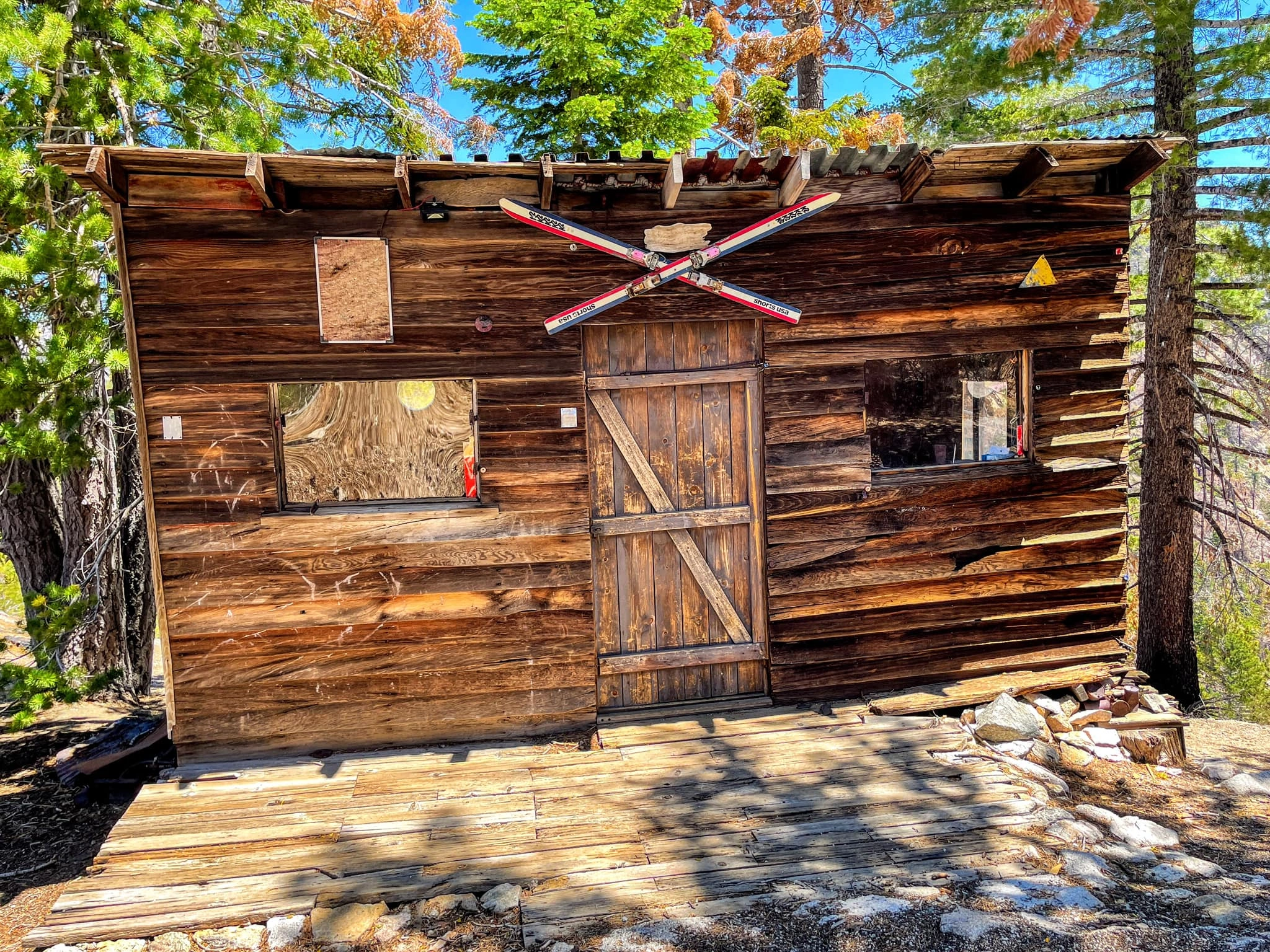
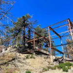
Old ski lift cabin on the summit of Kratka Ridge, photo by Sunny Yi
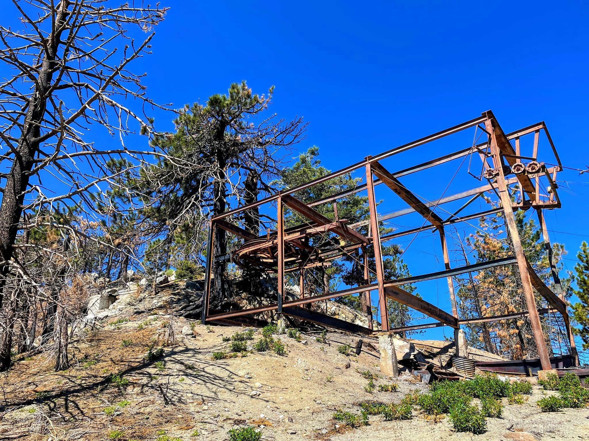
Old ski lift on Kratka Ridge, photo by Sunny Yi
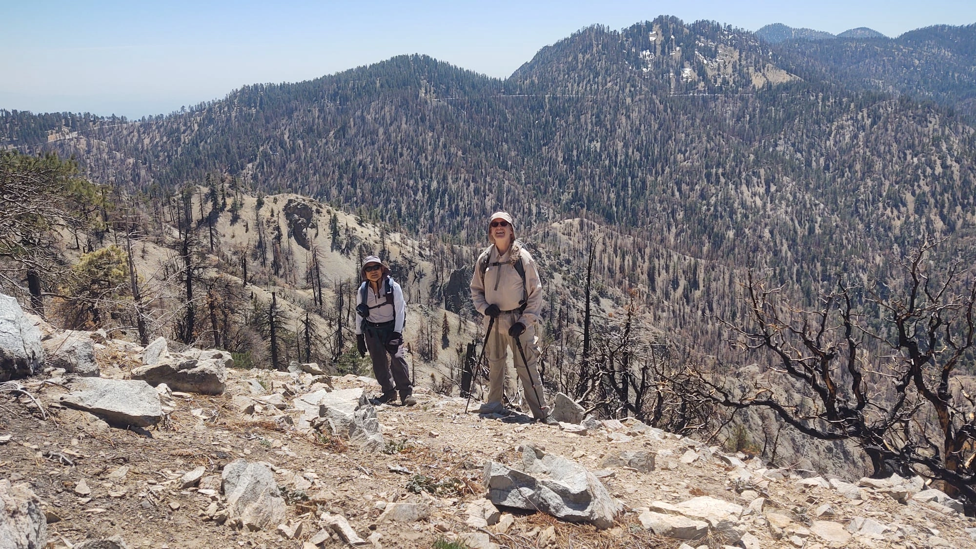
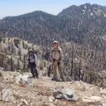
Kratka Ridge, photo by Steve Russell


Peakbagger.com

Nearest ranger station

NOAA Forecast

Google Earth


