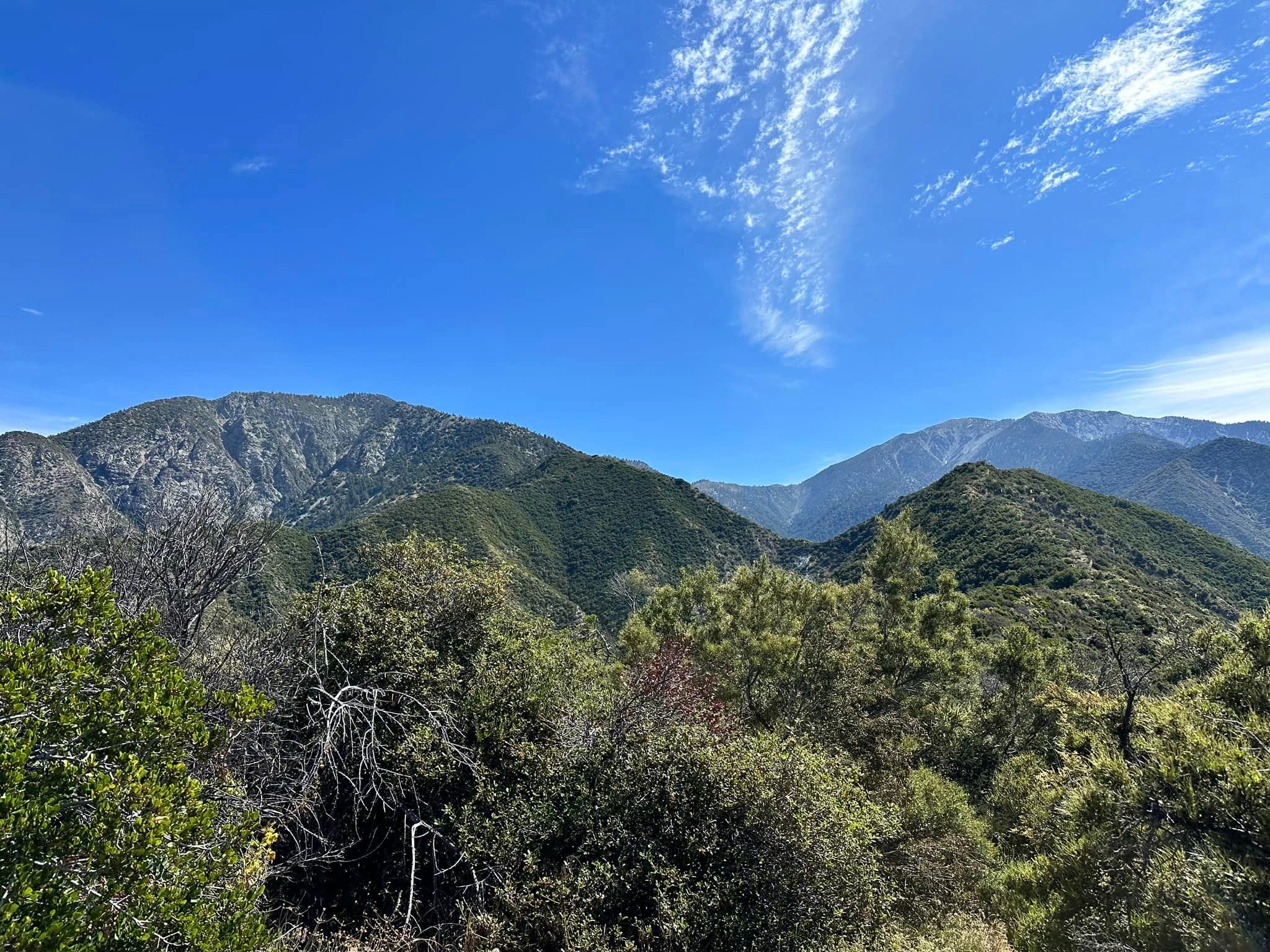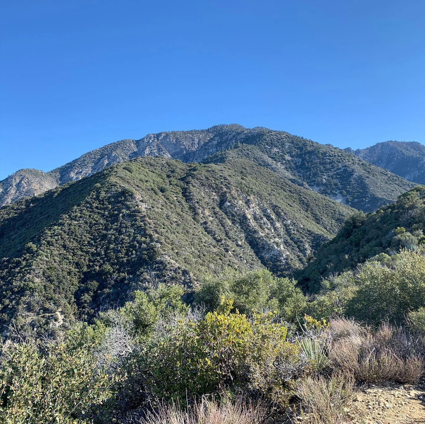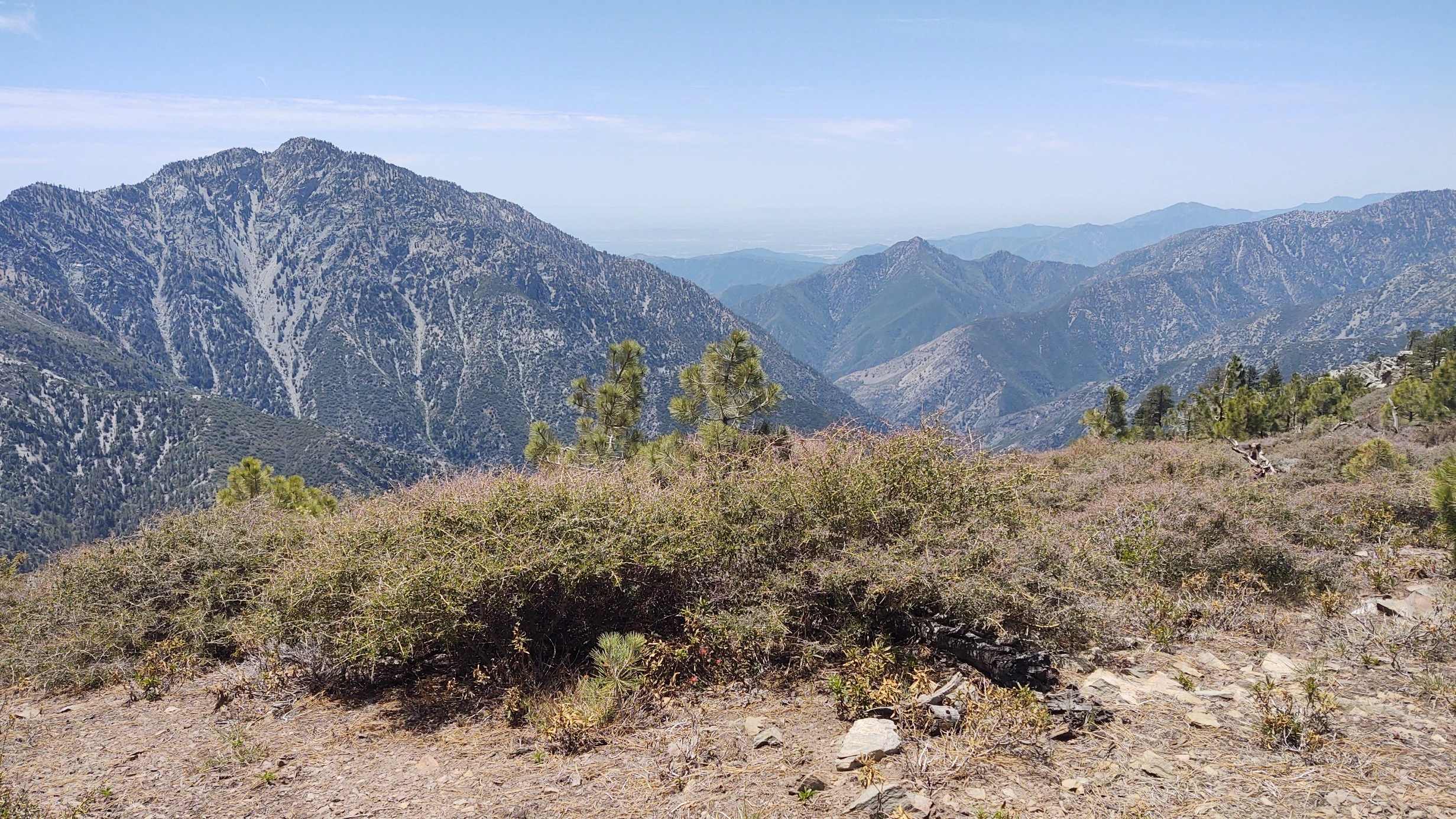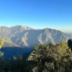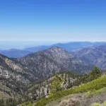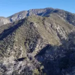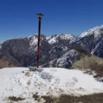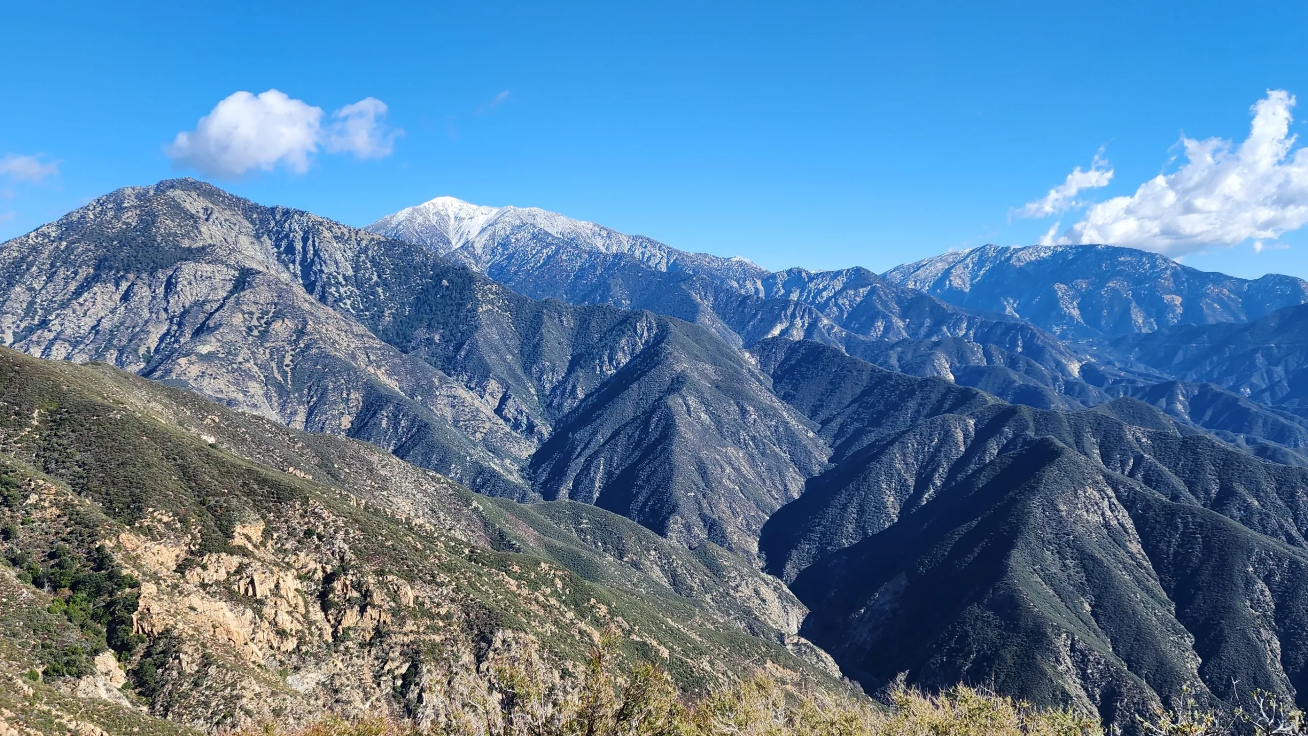
Iron Mountain #1

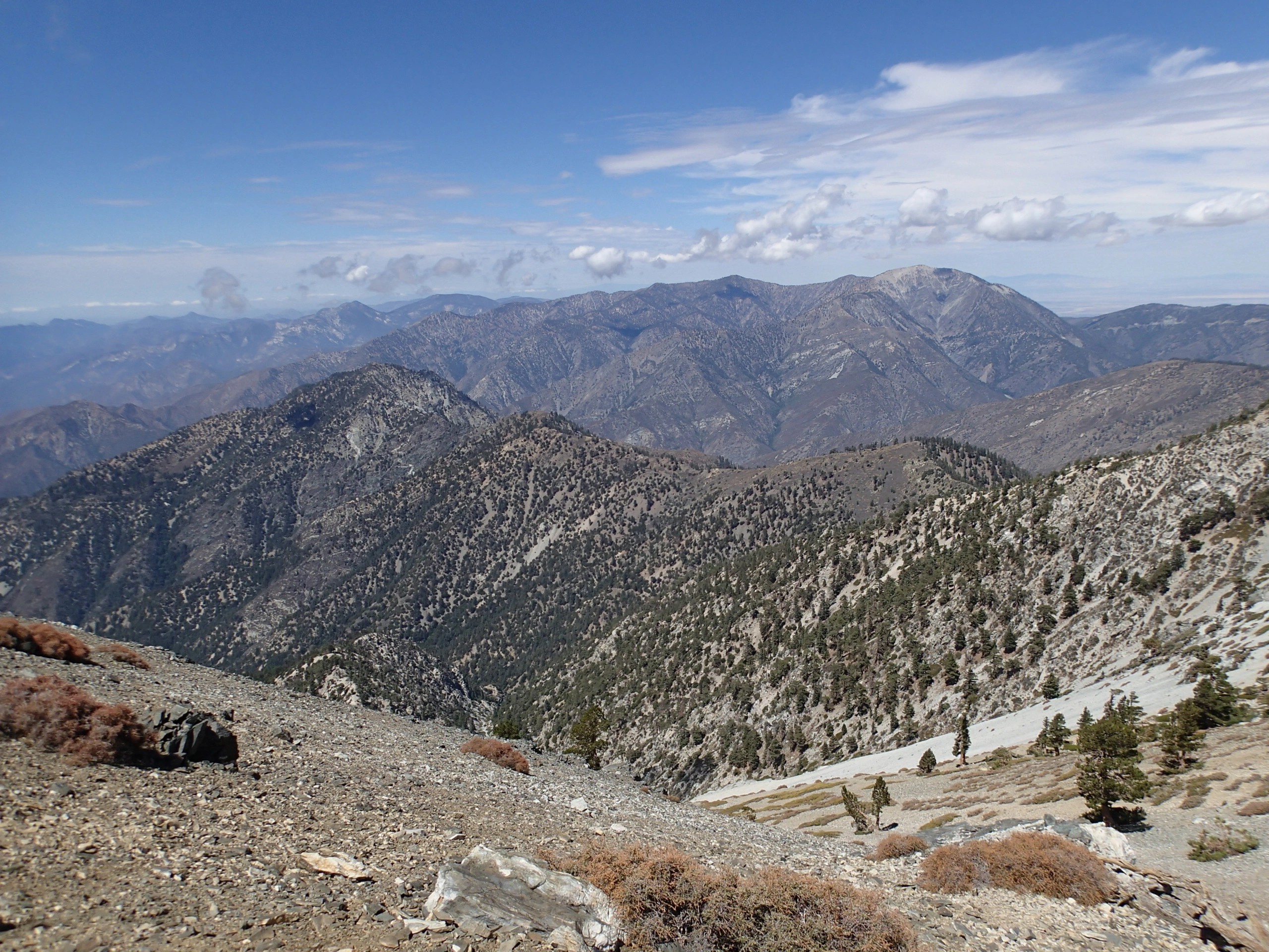
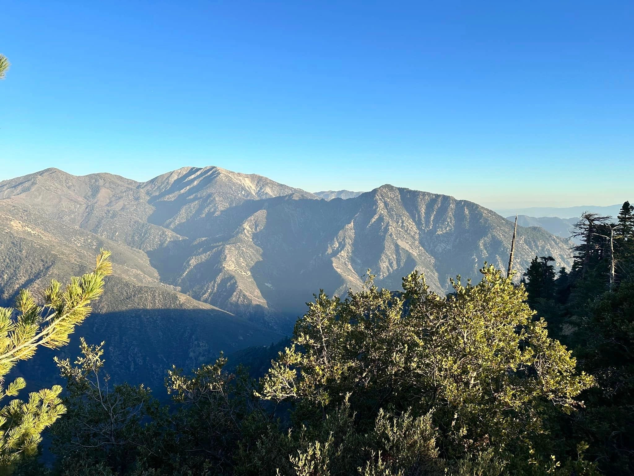
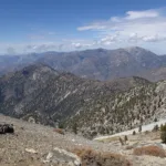
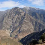
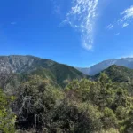
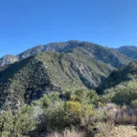
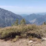
Iron Mountain #1, Photo by Sharon Moore.

Peak Name

Iron Mountain #1
15D

Elevation

8007

 feet

Status

active

Region

San Gabriel River Basin

Range

San Gabriel Mountains

Nearby peaks

Location

34.2883367,-117.7128348

Description

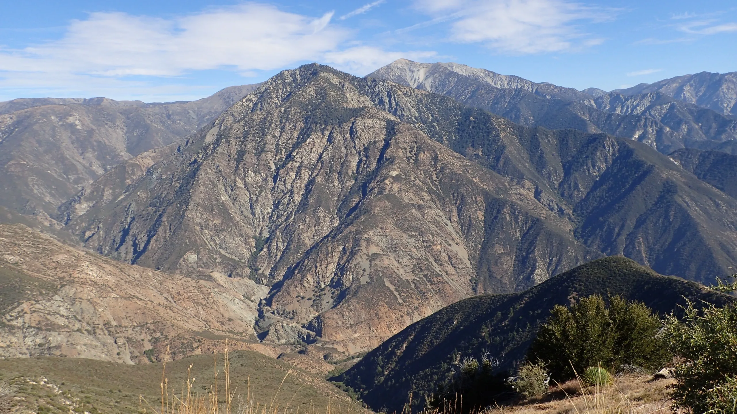
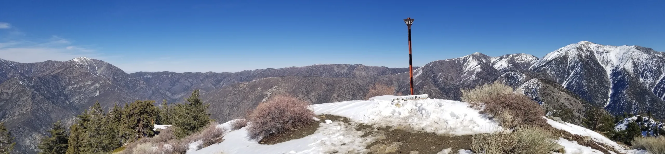
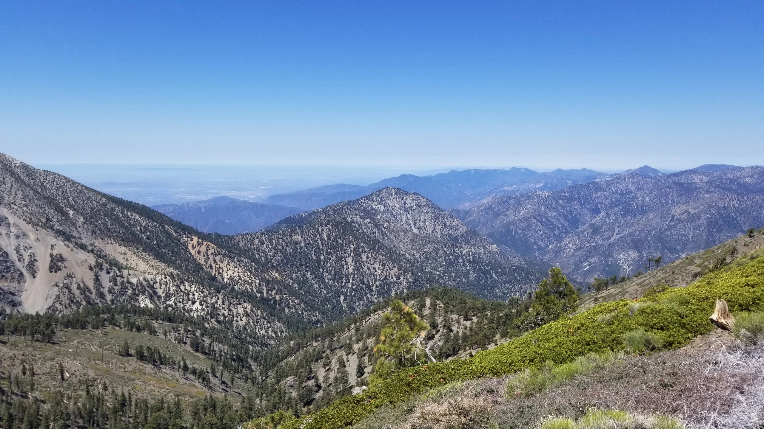
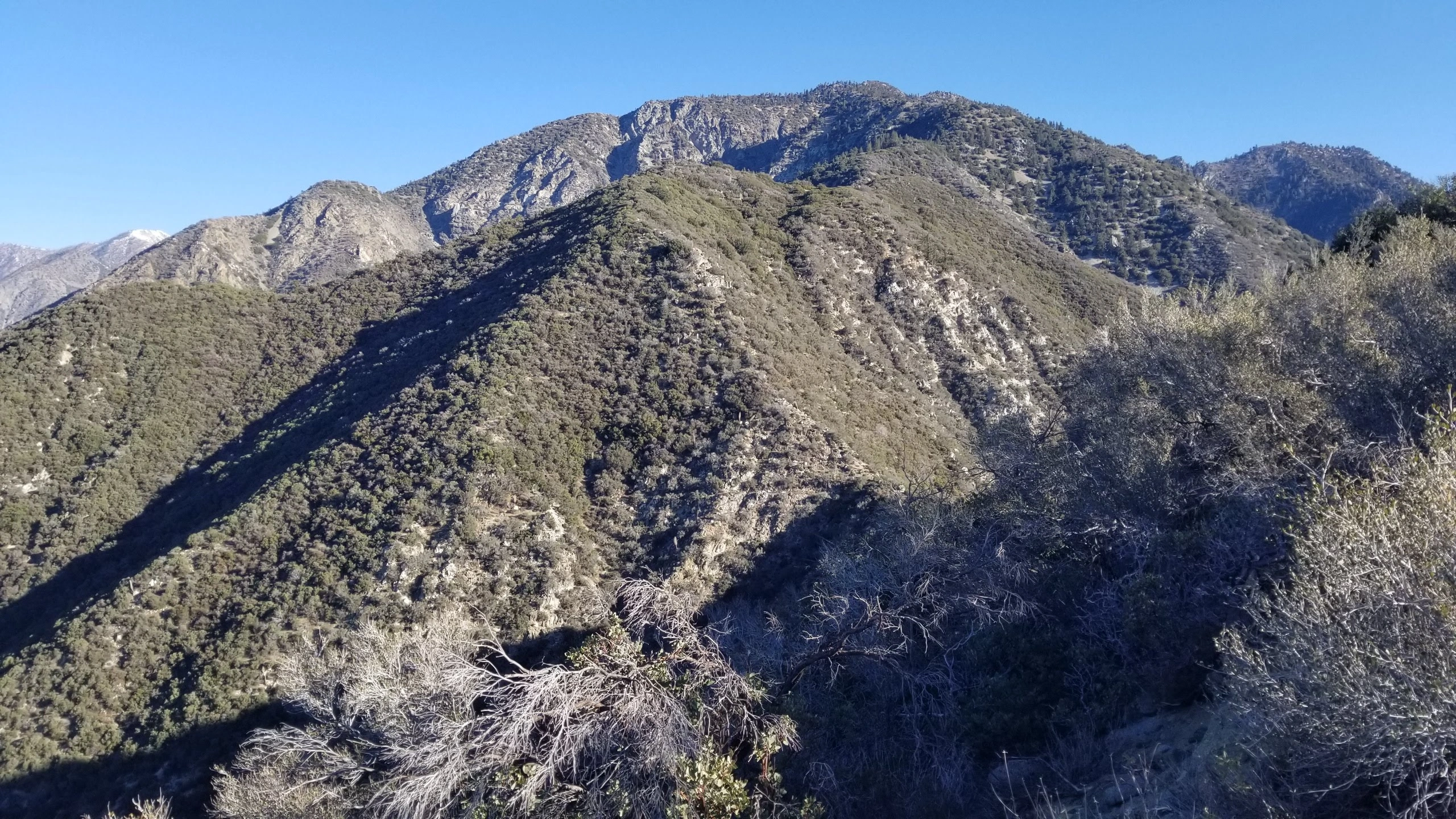
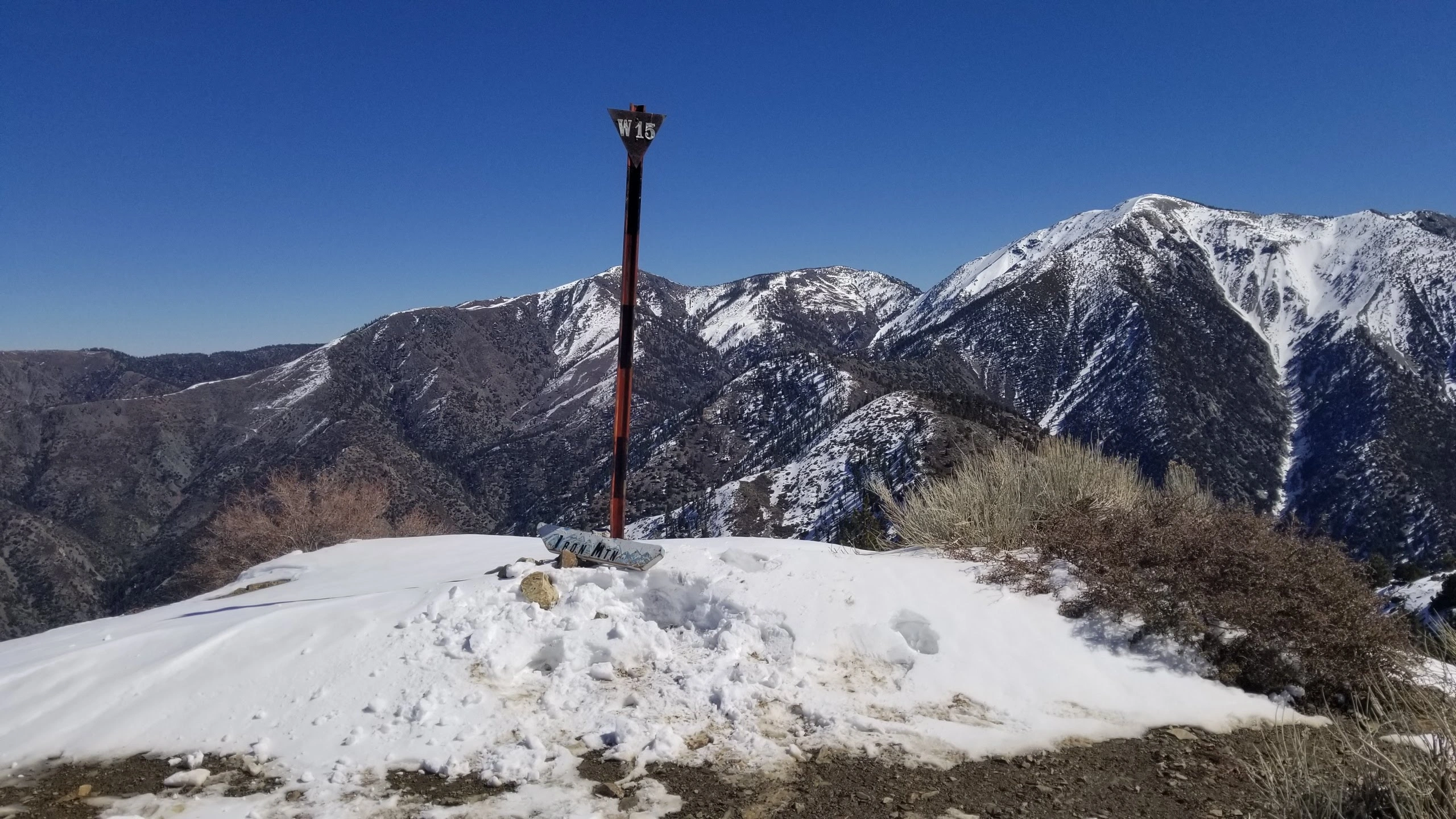
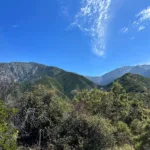
Iron Mountain #1 is by far the hardest single peak hike in all of the Angeles Forest. Big Iron was originally called Sheep Mountain by the local miners for all the bighorn sheep that used to call the area home. The hike delivers stunning views of Rattlesnake Peak as well as Ontario Peak, and the 360 degree panorama from the top includes Baden Powell, Mount San Antonio, Dawson Peak and Pine Mountain #1.

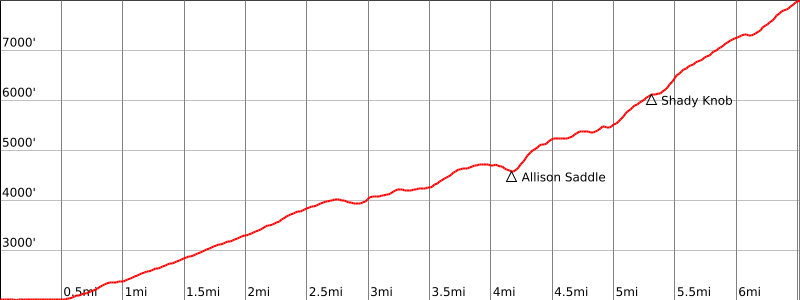
Route 1 describes the starting area and the turn off onto Heaton Flat Trail (near the toilet). The trail is easy to follow as it climbs the canyon, crosses a saddle and then keeps climbing to Allison Saddle, named for the nearby Allison Gold Mine, where you can leave some water for the long hike back. From that saddle, the hike really gets challenging as the trail goes up and down at least 7 times before reaching the summit and trail can be loose and slippery. This hike is best done in spring after any snow has melted, or in the fall when it is cooler, as it can be hot and there is little shade. A few sections are steep enough where your hands will be touching the ground to help you keep your balance. Experienced and well trained hikers looking for a challenge will love this hike. An even more challenging route is to traverse the San Antonio Ridge to Baldy (Iron to Baldy), which involves some third class scrambling and a great deal of additional elevation gain, both going out and on return. Leaving a car at Heaton Flat would allow one to do Baldy to Iron (the direction with the least gain) as a car shuttle hike.

Maps generated from CalTopo.com, reproduced with permission

Route 1
Elevation Gain
7200′ total, 6600′ out plus 600′ on return
Navigation Difficulty
Moderate
Distance
14 miles round trip on trail and cross-country
Estimated time
10-12 hours round trip
Route Rating
Class 1, very strenuous
Leader Rating Required
I

Driving route

From the intersection of I-210 and Azusa Avenue (SR 39), drive north on Azusa Avenue about 12 miles to the intersection at the East Fork Bridge.
Turn right and drive 6.1 miles to a parking lot at the end of the road. Park here.

Hiking route

From the parking area, pass the locked gate and hike north and east up the road about 1/2 mile to the beginning of trail 8W16 on the right at Heaton Flats. There may be a sign “Heaton Flat Trail”.
Take this trail, keeping right at an immediate fork. Follow the trail up to the top of the ridge. Continue on the trail over several small bumps to its end at Allison Saddle (4582′).
Leave the trail and head north up the ridge following an obvious use trail up to the summit.

Route Notes

Printable Route

Road Type

Paved

Google Maps Link to Trailhead 

Additional Peak Information

Alternate routes: This peak has been climbed from many different directions including a route that traverses Mount San Antonio. All of these routes are very difficult and should not be attempted by inexperienced hikers.

Historical notes: This peak is considered to be the hardest climb in the San Gabriels. Also known as Big Iron, it was originally called Sheep Mountain by the early miners in San Gabriel Canyon because of the large bands of Bighorn sheep that formerly roamed the slopes. The Geological Survey, which mapped the San Gabriels in the 1890’s, ignored the local designation and gave it its present name.

Special conditions: On the return trip the ridge forks about 1/4 mile below the summit. Be sure to the follow the use trail off to the left at this point. Many experienced hikers have made a mistake at this point.

Wilderness permits are required to hike the Heaton Flat Trail. They are available at the following locations:
1) Self-serve at a kiosk near the entrance to the parking lot.
2) The USFS Entrance Station on SR 39.
3) The San Gabriel River Ranger District Office at 110 N. Wabash in Glendora.
4) By mail from the San Gabriel River Ranger District, Angeles National Forest, 110 N. Wabash, Glendora, CA 91741. (626) 335-1251

Nearby Peaks

Backus Peak
Owens Peak
Black Mountain #5
Morris Peak

External Links

mountain 1

Peakbagger.com

Click Here

ranger-tower 1

Nearest ranger station

Click Here

g311

NOAA Forecast

Click Here

worldwide 1

Google Earth

Click Here

Photo Gallery