Peak Name
Elevation
feet
Status
Region
Range
Nearby peaks
Location
Everything about Hot Springs Mountain is big. It is San Diego County’s highest point (6533′), and lies within the County’s largest reservation (Los Coyotes Indian Reservation). It offers huge views from the Pacific Ocean to the Salton Sea. There are not just one but three USGS markers on the summit. On top of all of that, the oldest Fire Lookout tower in the Cleveland National Forest (1912) still resides on the summit to this day.
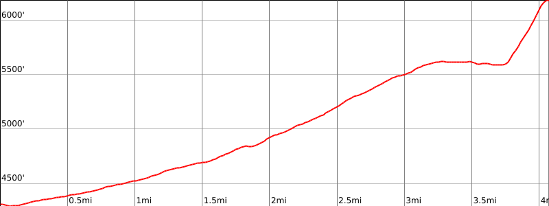
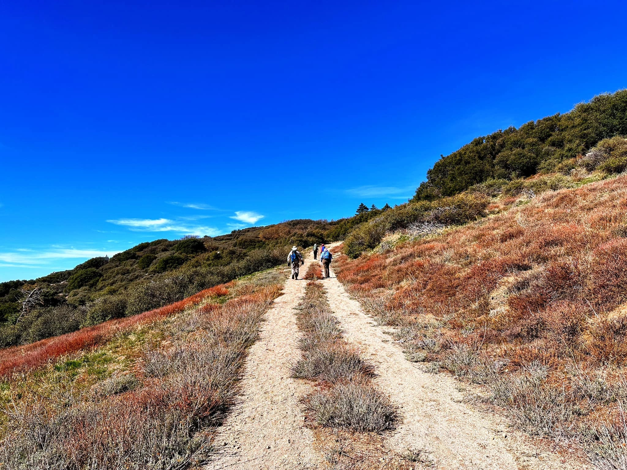
Route 2 is 10 miles round trip and climbs 2500′ along old roads from the southeast near San Ysidro. The easy, smooth hike starts at a chained gate along Sukat Road on the Los Coyotes Indian Reservation, which charges a day use fee. From the parking area, head up Sukat Road until it hits the paved Hot Springs Mountain Road (which used to be a HPS driving route to the summit) and follow it all the way to the summit. From the large parking area on top, head northeast for a short distance to the large rock summit block. Access to the Reservation is restricted. One can purchase reservations at the gate or online in advance at LosCoyotesTribe.com; be sure to check hours prior to your trip.
Maps generated from CalTopo.com, reproduced with permission
Driving route
Take I-15 south to Temecula.
Go east on SR 79 about 37 miles past Aguanga to Warner Springs.
From the service station in Warner Springs, drive 0.3 mile south on SR 79 to Camino San Ignacio Road on the left (east), with sign “Los Coyotes Reservation”. Turn left on this paved road. Note your odometer and go as follows.
At 0.6 mile, fork. Go right.
At 5.0 miles, stop at the Ranger Station with a stop sign. The Los Coyotes charge an entrance fee to enter their land ($10 day use fee per person in 2022).
Continue on Camino San Ignacio for 2.7 miles.
GATE HOURS 6:00AM – 6:00PM – Monday through Sunday (If you arrive early, you will end up waiting for entry.) Current as of May 2022.
Hiking route
From the parking area, walk up Sukat Road past the chained and marked access to the road. Stay on the main road and you will connect with Hot Springs Mountain Road (no longer available for driving) near the summit.
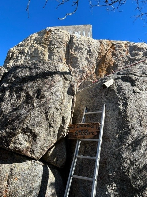
At the summit area is a large parking area. Walk northeast on a faint trail 1/8 mile to the summit block, which has a large rock topped by a concrete platform. Easiest access is from the back side of the summit block, which involves scrambling up the rock, but avoids an unsteady ladder and nylon webbing that may be present on the front.
The register is just west of this rock. Please do not move the register to the obvious indentation in the concrete platform: rains fill the indentations and ruins the register.
Route Notes
Entrance fee required.
Additional Peak Information
Natural historical notes: The peak is the highest point in San Diego County.
Special condiitions: The peak is on the land of the Los Coyotes Reservation. Detailed information concerning access is available at LosCoyotesTribe.org. There is a fee to enter the reservation for hiking or for their campground. Reservations for hiking or camping can be made online at LosCoyotesTribe.org or paid at the Ranger Station on site.
Please be respectful of the area and rules of entry. The area has been closed to entry in the past, apparently due to issues with visitors. For further information and status, contact:
Los Coyotes Band of Indians
PO Box 189
Warner Springs, CA 92086
Phone (760) 782-0711
LosCoyotesTribe.org


You must be logged in to upload images.