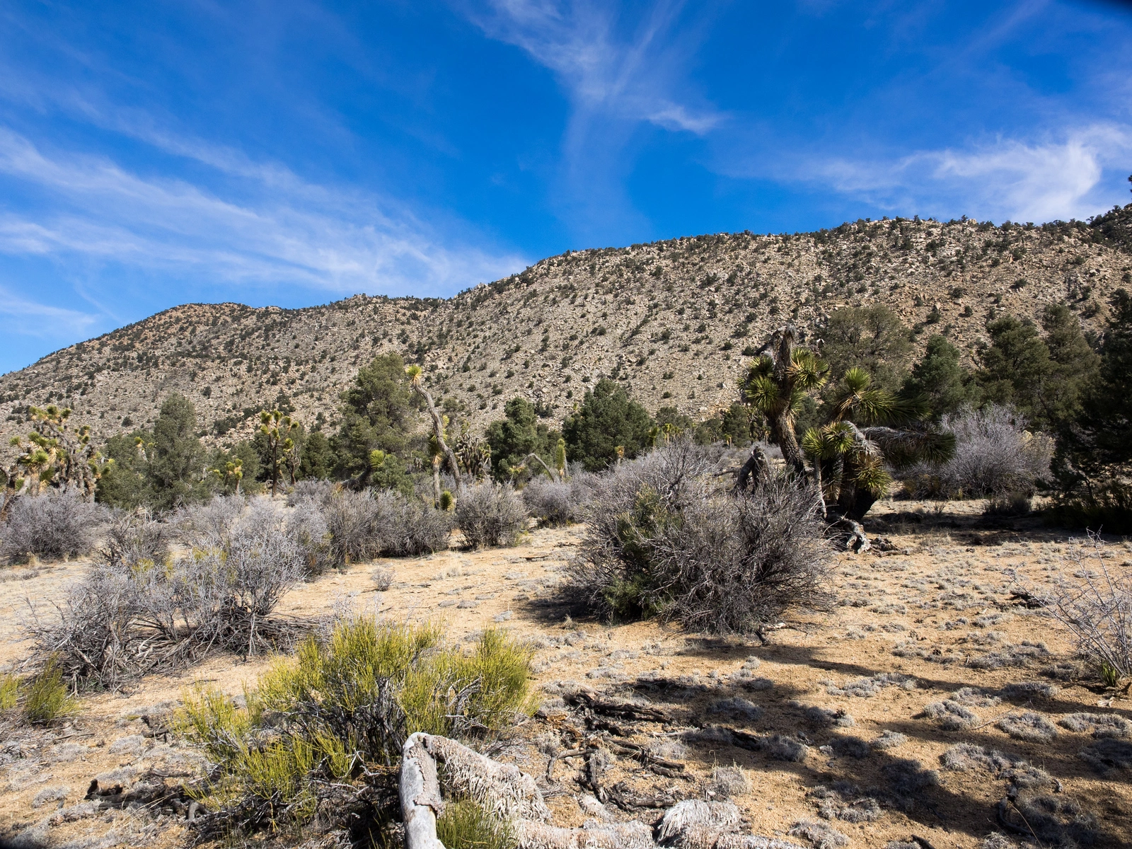
Granite Peaks lies in the Bighorn Mountain Wilderness in the northeast corner of the San Bernardino National Forest. This is a unique desert-alpine ecozone, where the beautifully placed rocks, Joshua trees and pinyon pines remind one of a garden. The peak has splendid views of the mountains and desert. It is typically hiked in some combination with nearby Tip Top and Mineral. The road to Granite Peaks Route 1 is rough and slow going, and it gets progressively worse if one chooses to continue to Tip Top, and even worse to Mineral. The HPS peak is the east peak.
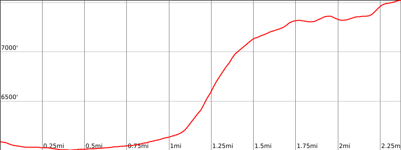
Route 1 ascends steeply a gully to a rocky plateau then winds its way to the peak. There are various interesting alternate routes, shown on the map.
Maps generated from CalTopo.com, reproduced with permission
From Big Bear City, drive northeast on SR 18 about 6 miles, about 0.3 mile after the 61.00 mile marker, to 3N03 (dirt) on the right, signed: “Cactus Flat”. The sign marking this road faces north and is difficult to see when coming from Big Bear. Turn right. High clearance recommended for all dirt roads in this area. Note your odometer and go as follows:
Ignore all side roads. At 5.0 miles, you cross Arrastre Creek.
At 5.1 miles, fork. Go left.
At 5.2 miles, fork. Go left.
At 5.6 miles, end of road at a parking area. Park here.
Hiking route
From the parking area (6080′, UTM 243925), go through the gap in the fence.
At a bearing of 355° a gully can be seen about a mile away coming down southwest from the summit plateau. Hike directly through the scrub brush north-northwest to the base of this gully.
Go up the gully following a ducked route that follows the left side of the gully. It soon crosses to the right side and continues up to the top of the ridge.
Continue northeast to the summit plateau. Two peaks are visible on the plateau. The one on the left is Granite Point (7512′) and the other is East Peak (7527′). East Peak is the official summit.
Head toward a rockpile to the left of Granite Point until you reach a wash at its base.
Turn right and go down this wash less than 100 yards to where another wash comes down from the left.
Turn left and go up this wash over large boulders, passing Granite Point on its west side. Continue around Granite Point to the north side.
Head east. Just past the saddle between Granite Point 7512′ and East Peak 7527′ ascend due south into a small gully containing a ducked route.
Upon reaching the main ridgeline at the head of the small gully, scramble east over boulders to the rocky summit.
Alternate routes: This peak can be hiked from almost any direction. All routes require excellent navigating skills.
Notes: Granite Point was originally the official summit. When the USGS published the 7½ minute topo, East Peak was named as a higher point. The HPS then made this the official summit.
The area is popular with deer hunters. The season begins the 2nd Saturday in October and runs for 30 days.
The largest known Joshua tree in the world (now deceased) is located just 0.5 mile east of the parking area.
This area is the site of a pilot project for reseeding the dirt roads in the area.
Granite Peaks is in the Bighorn Mountain Wilderness Area.