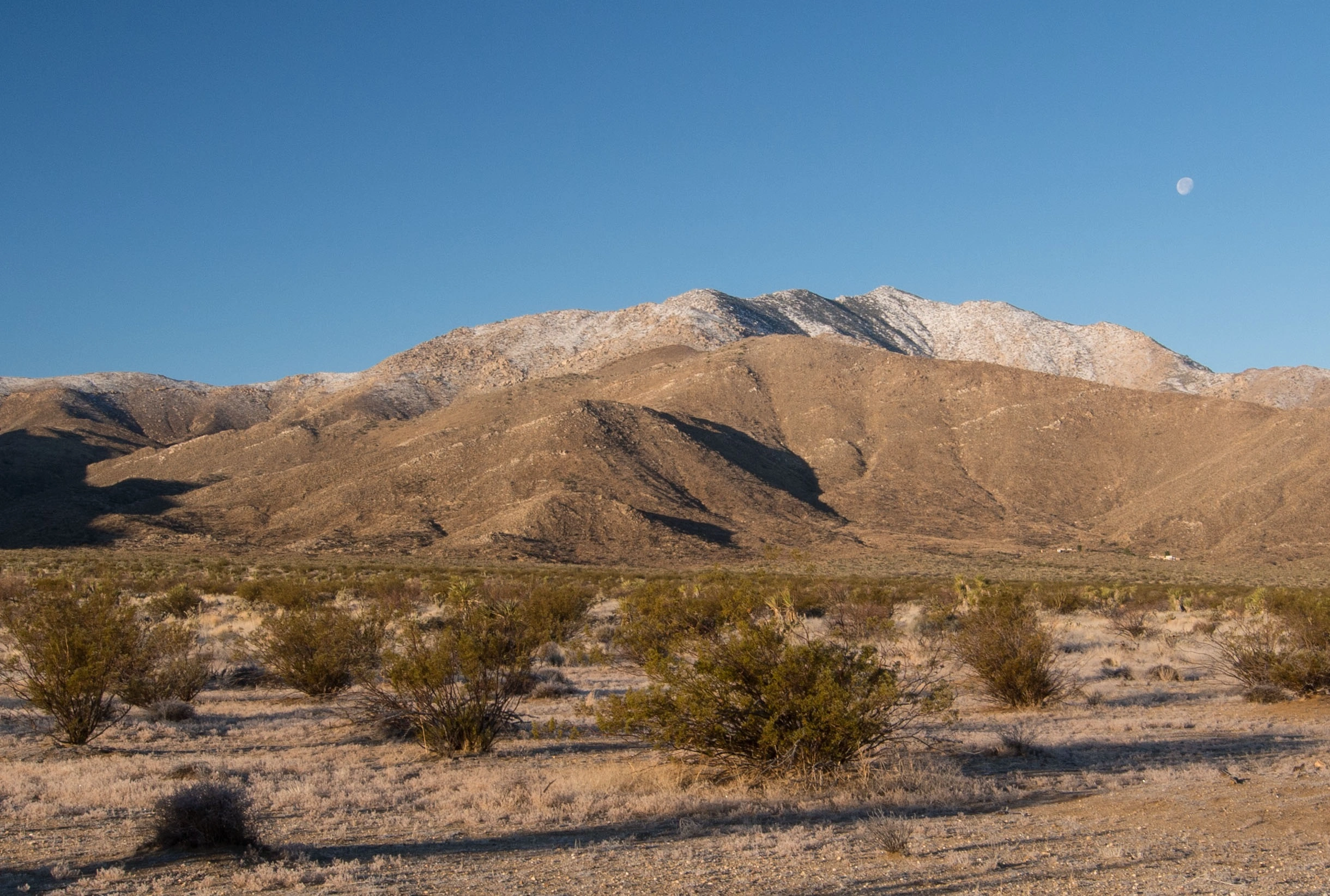
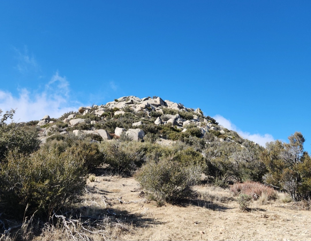
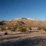
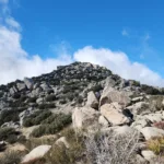
Granite #2 from a distance, photo by Kathy Wing
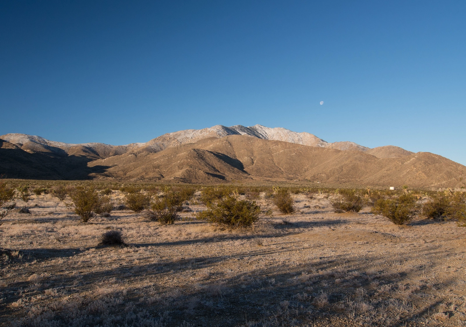
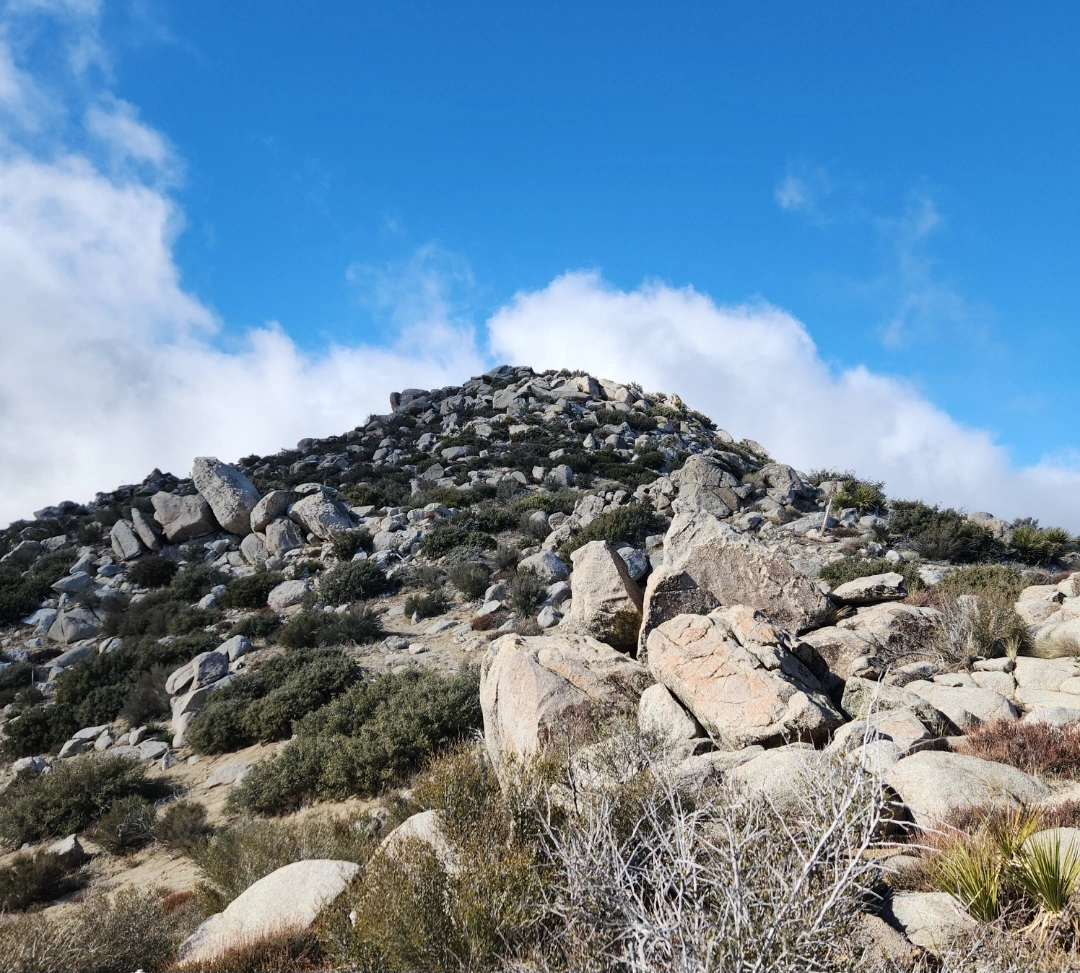
Granite Mountain #2, photo by Kathy Wing
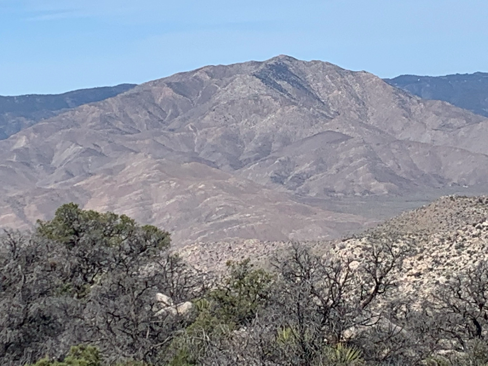
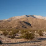
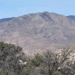
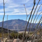
Granite Mountai #2, taken from Whale, photo by Sharon Moore
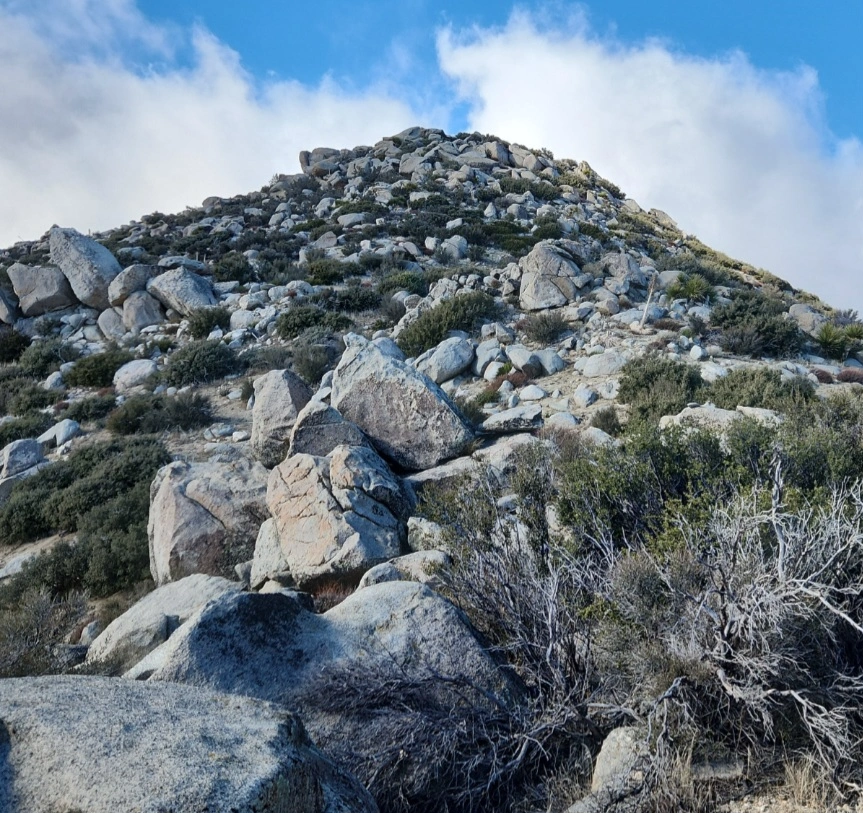
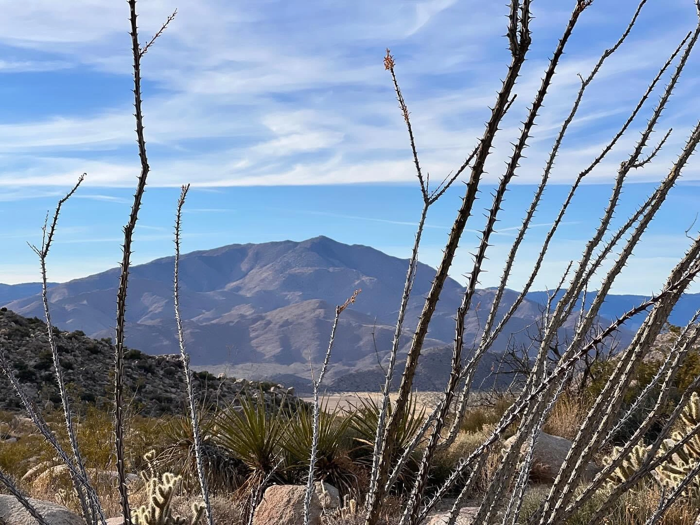
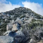
Granite Mountain #2, photo by Judy Akiike
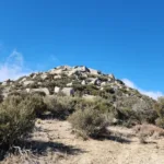
Granite Mountain #2, photo by Judy Akiike
Granite Mountain #2, photo by Judy Akiike
Granite Mountain #2, photo by Sharon Moore
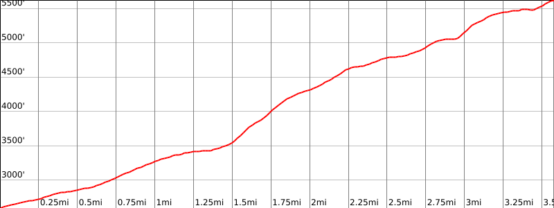

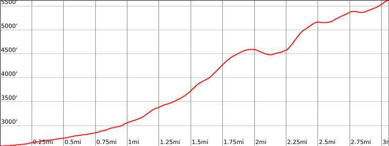

Peakbagger.com

Nearest ranger station

NOAA Forecast

Google Earth


