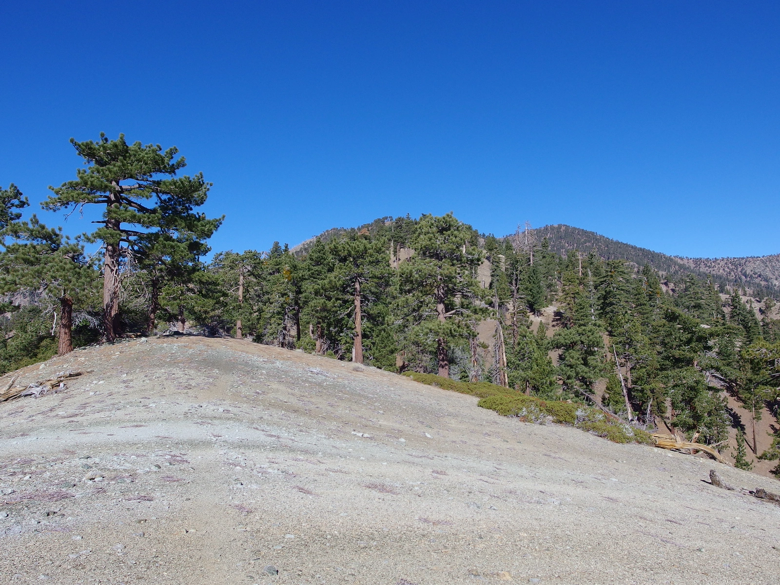
Copter Ridge, photo by Kathy Wing
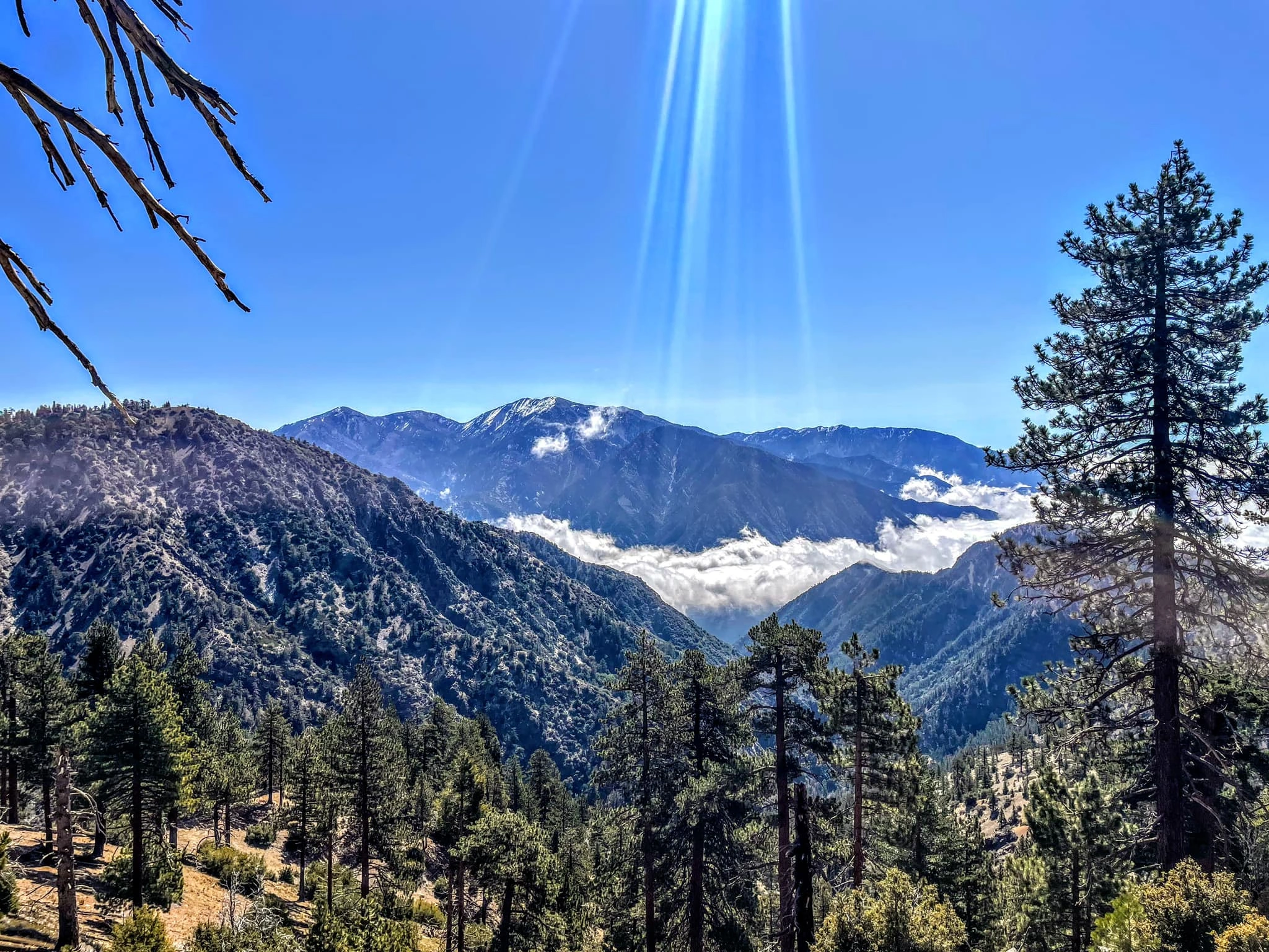
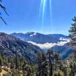
Copter Ridge (left) with Iron Mountain and Baldy behind, photo by Sunny Yi
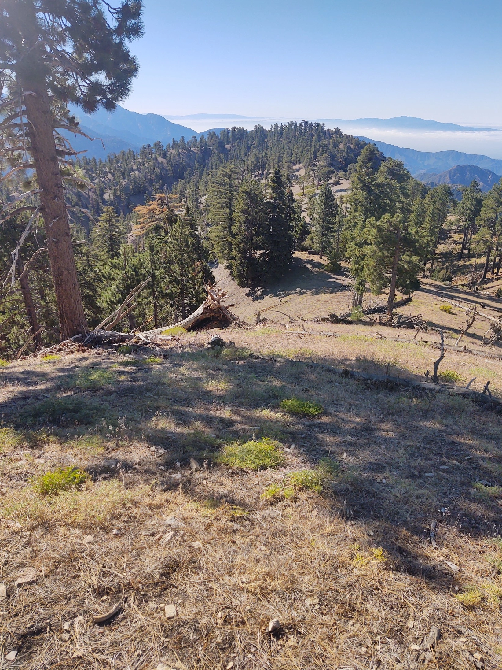
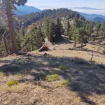
Copter Ridge, photo by Steve Russell


Peakbagger.com

Nearest ranger station

NOAA Forecast

Google Earth


