Peak Name
Elevation
feet
Status
Region
Range
Nearby peaks
Location
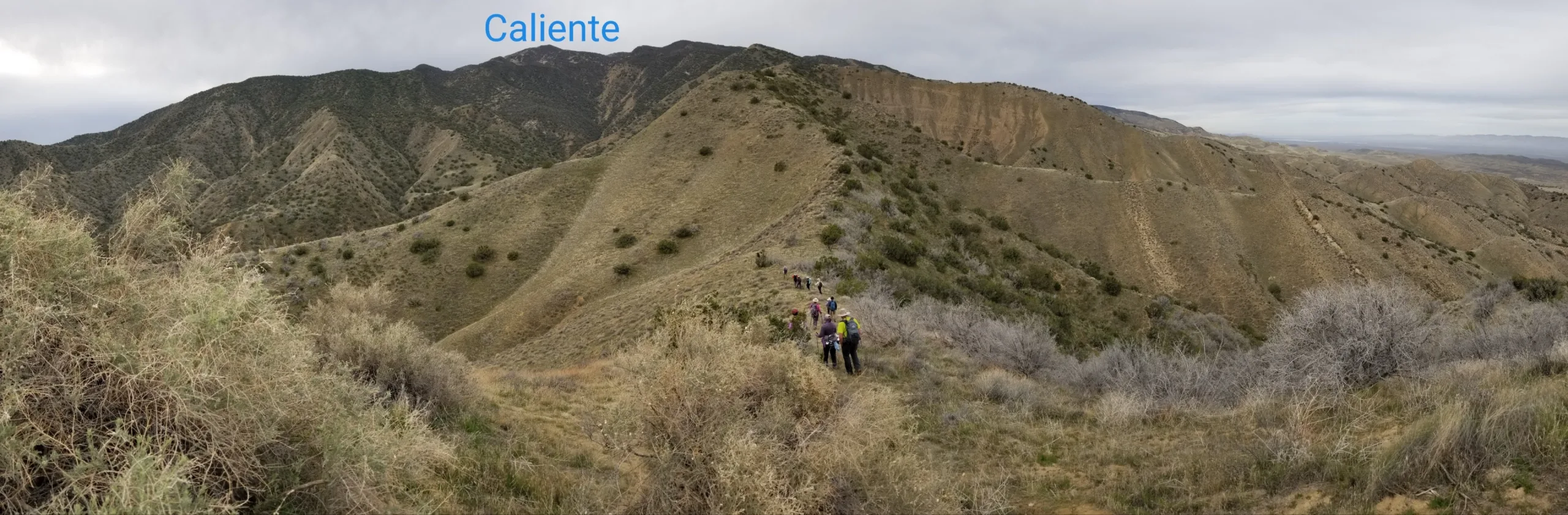
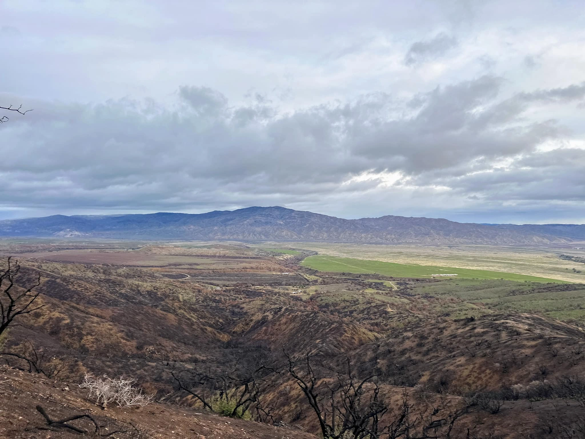
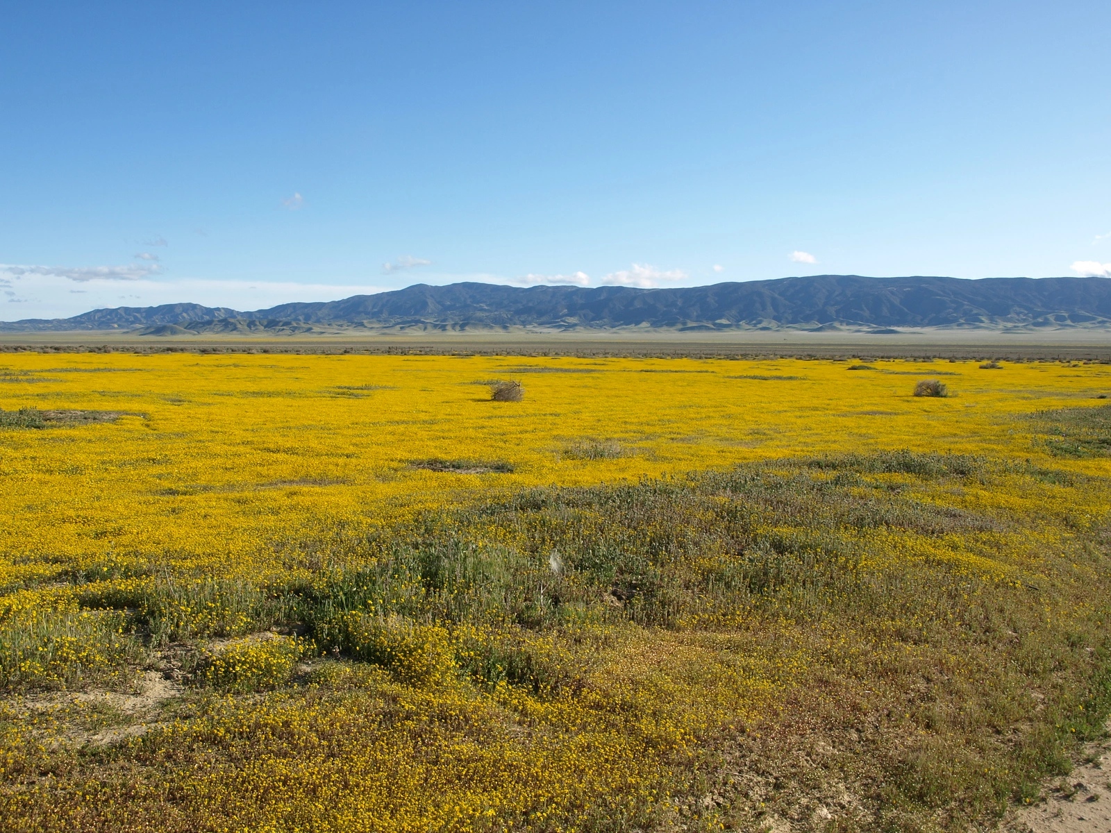
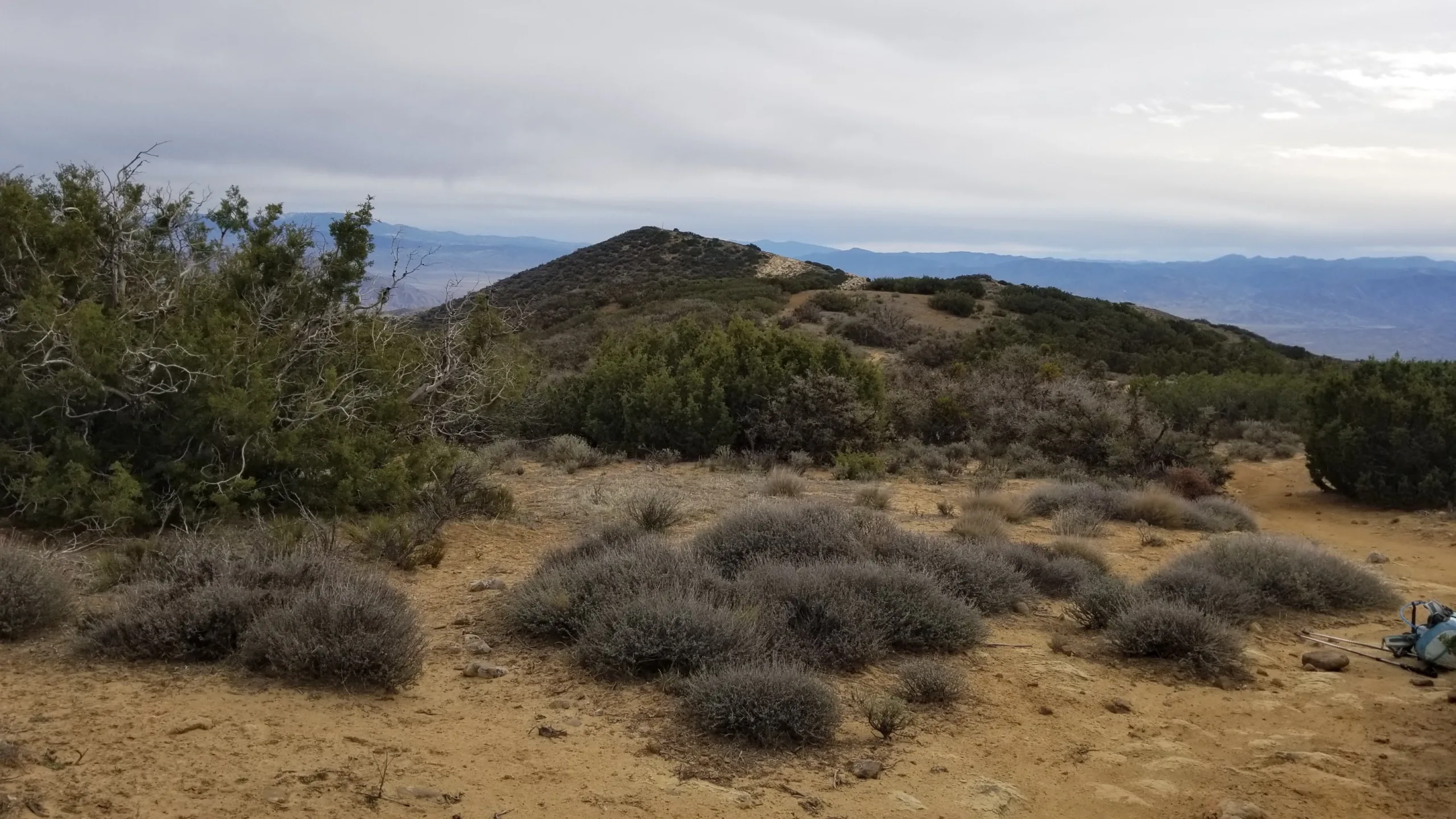
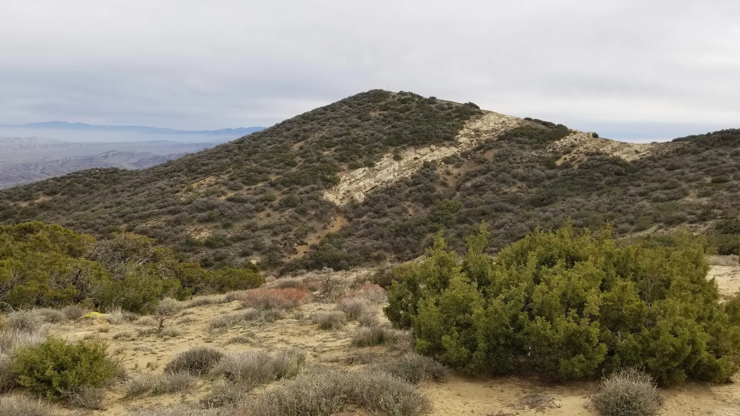
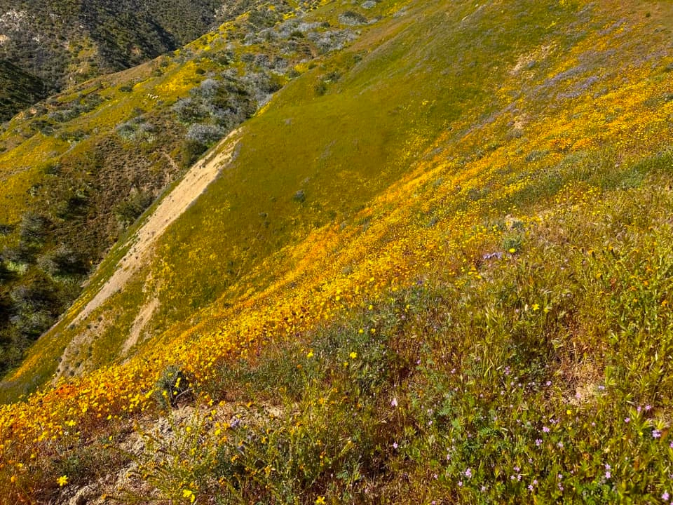
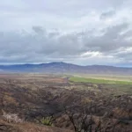
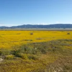
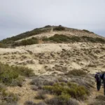
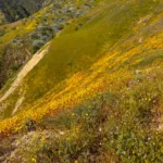
Caliente Mountain is the high point of Carrizo Plain National Monument and San Luis Obispo County. There are WWII-era lookout ruins on the summit, which overlook the vast plain below, once home to the Chumash. To the north and east, the San Andreas Fault strikingly traverses the plain as the Temblor Range rises on the eastern edge of the monument. In spring, the area has some of the best wildflower blooms in southern California. True to its name, it is best avoided in the summer.
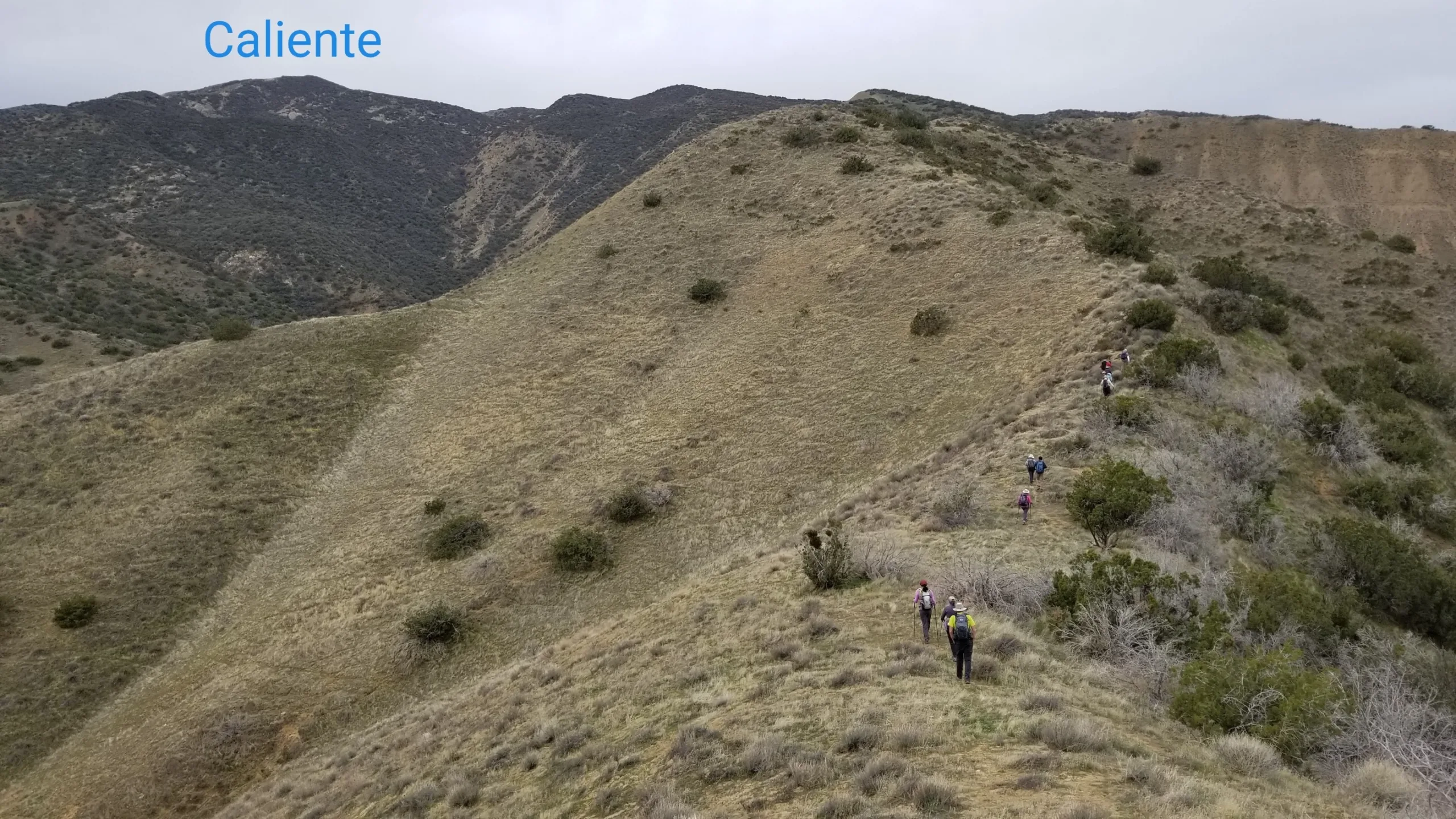
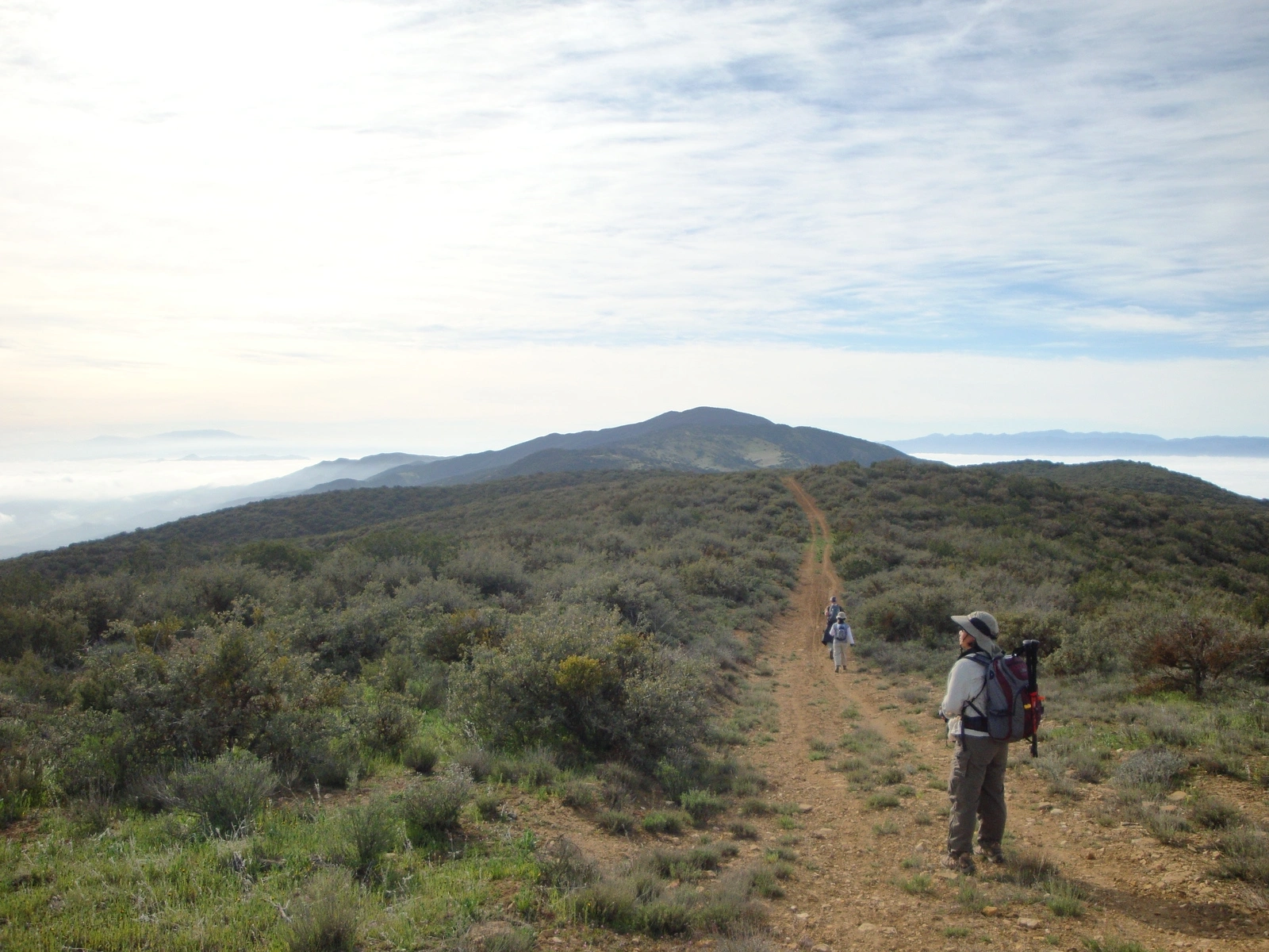
Route 1 is a very long road hike with gradual gain and some modest ups and downs on the remnants of an old road. Though a tedious walk, it makes an excellent mountain bike trip. Route 2 is an enjoyable and pretty cross country climb up a somewhat brushy ridge.
Maps generated from CalTopo.com, reproduced with permission
Driving route
Drive north on I-5 past the Grapevine Grade to SR 166.
Take SR 166 west to the town of Maricopa.
Continue on SR 166 for 9.2 miles to the junction with Soda Lake Road on the right. Turn right. Note your odometer and go as follows:
Drive 24.2 miles, staying on the main road, which alternates between paved and unpaved.
At 24.2 miles, a three way fork. Take the center fork.
At 29.2 miles, junction for the Shelby (Selby) Cow Camp. Turn left and pass through a seasonal gate. Note your odometer again and go as follows:
At 3.8 miles, fork. The left fork has a sign “Shelby Parking Area 1 mi.”. The right fork is signed “Caliente Ridge Parking Area 3 miles”. Turn right. From this point the good dirt road is steep.
At 7.1 miles, a parking area on the right and a gated road to the left (east). Park here.
Hiking route
From the parking area (3960′), walk uphill to the ridgeline where you meet the main ridge road.
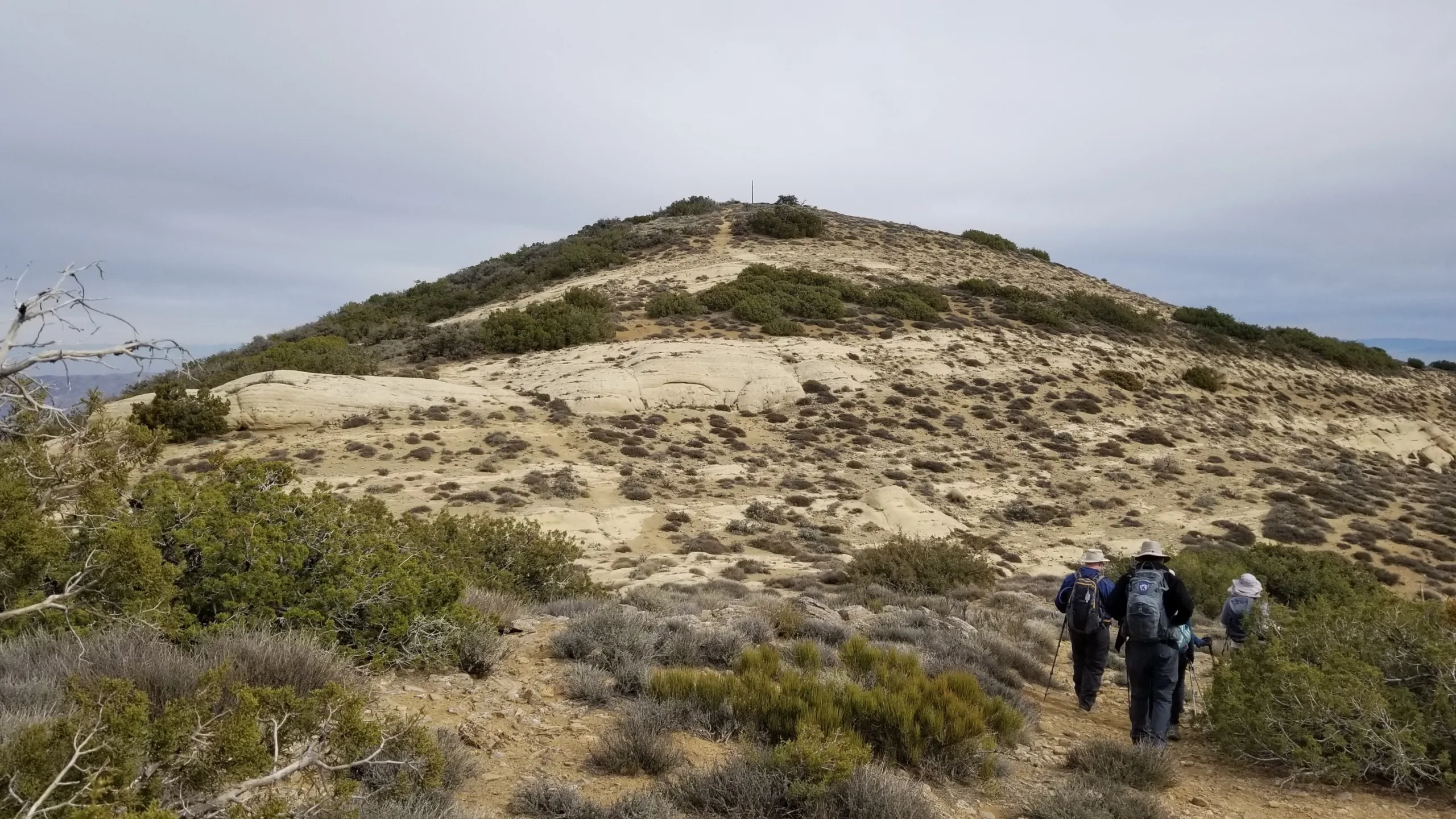
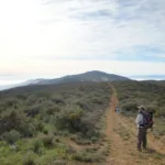
Turn left (east) on the ridgeline road, which gradually curves southeast for about 8.5 miles to the summit.
The road deteriorates and steepens after the wildlife guzzler (4500′). Mountain bikers may wish to stash their bikes near this point.
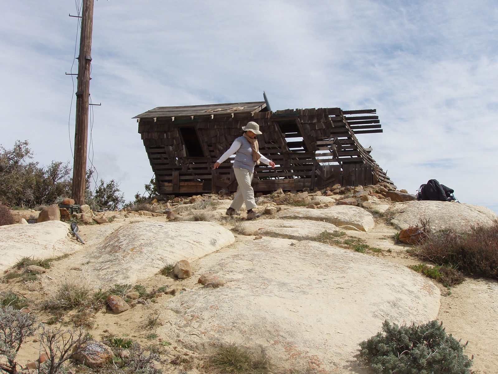
The summit shack is reached after a final turn to the east. The register is found next to the shack to the southwest.
Note: Significant rain turns the road (adobe clay) into a sticky mess, and closes the roads within the Monument. Not recommended for hikers or mountain bikers during or shortly after such weather.
Driving route
Drive north on I-5 past the Grapevine Grade to SR 166..
Take SR 166 west to the town of Maricopa.
Continue on SR 166 for 9.2 miles to the junction with Soda Lake Road on the right. Turn right. Note your odometer and go as follows:
Drive 11.7 miles, staying on the main road, which alternates between paved and unpaved, to the Traver Ranch exhibit on the left.
Continue driving another 3.9 miles. At 15.6 miles, make a left turn onto a dirt road immediately after crossing a cattle guard.
Continue on the dirt road, veering right at 1.5 miles, 2.6 miles and 3.6 miles.
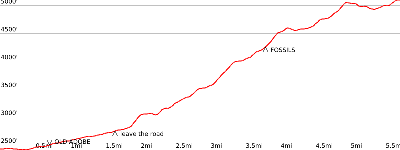
At 4.4 miles, park on a flat ear in front of a gate near “The Old Adobe”.
Hiking route
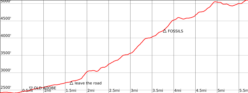
From the parking area (2517′) pass through the gate and follow a dirt road for approximately ¾ miles across flat area and turn WSW across a gully to the base of a ridge.
Continue west to the top of the ridge.
Follow this ridge WSW to spot elevation 3518.
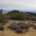
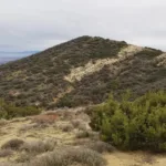
Continue WSW on the ridge, staying to the north of Abbott Canyon, to bump 4613. The route is increasingly brushy starting at about 4050′ elevation and passes an area of fossils at about 4240.
Now the fun part: pick your way along open leads through the dense scrub oak, going west from bump 4613, then SW to meet the ridge road (Route 1) just SE of bump 5082. Waypoints taken from the HPS map may be helpful. Deviating from this route to cross Abbott Canyon will result in negotiating serious brush.
Route Notes
Printable Route
Road Type
Additional Peak Information
Alternate routes: A route from the south crosses the property of JP Oil Co. JP Oil does not allow trespassing on this property. A cross country route from the north, roughly following Abbott Canyon, has been done. This route is on the National Monument. (See Route 2.)
Caliente Mountain is the high point of San Luis Obispo County. It is also the highest point within a vast grasslands area that was designated Carrizo Plain National Monument on January 17, 2001. Because of a lack of shade, outings to this peak are not advisable during the summer. The name caliente (meaning “HOT” in Spanish) refers to the Ojo Caliente hot spring located in the Cuyama Valley.
Historical notes: The building on the summit is the remains of a World War II lookout tower. This was a lookout for enemy aircraft. Several of these lookouts were constructed in the panic following the bombing of Pearl Harbor. This is the last of these lookouts that still exists at its original location. It is in very bad condition.


You must be logged in to upload images.