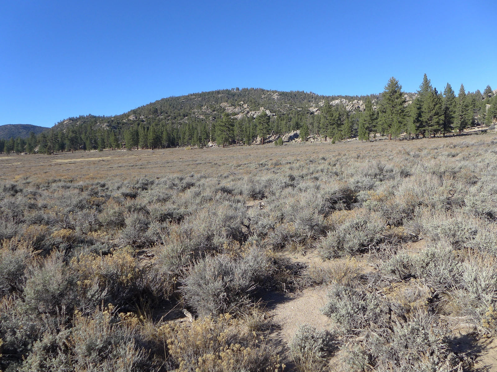
Arctic Point, taken from Holcomb Valley, photo by Kathy Wing
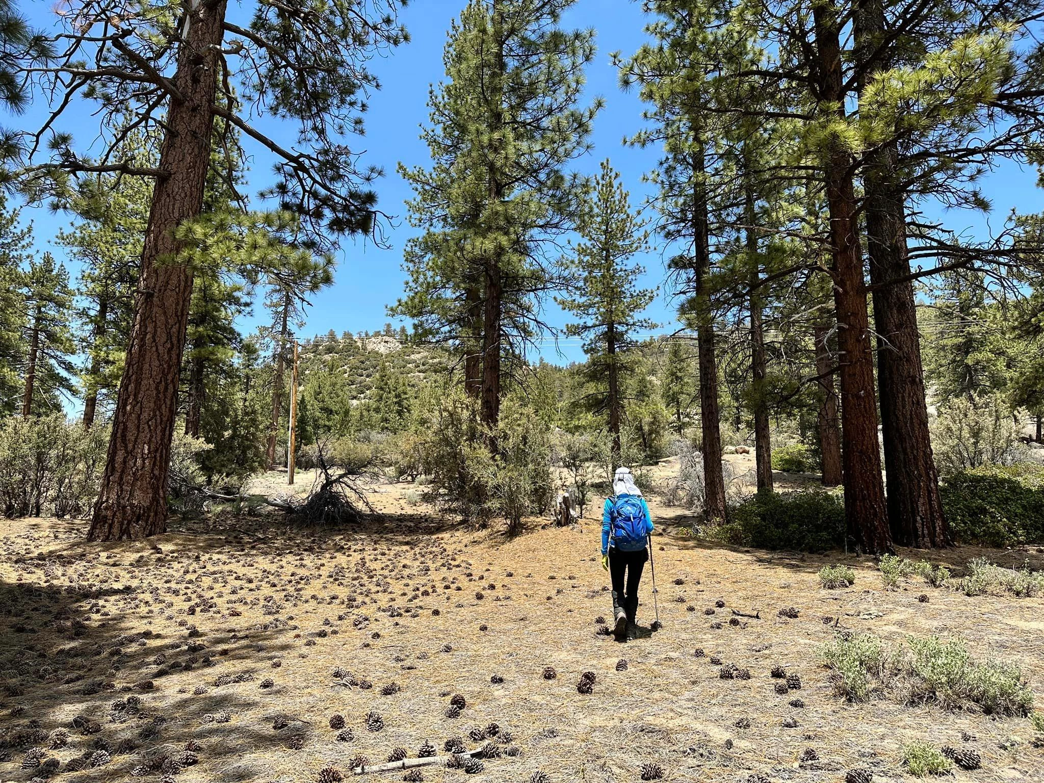
Arctic, photo by Sunny Yi


Peakbagger.com

Nearest ranger station

NOAA Forecast

Google Earth


