Peak Name
Elevation
feet
Status
Region
Range
Nearby peaks
Location
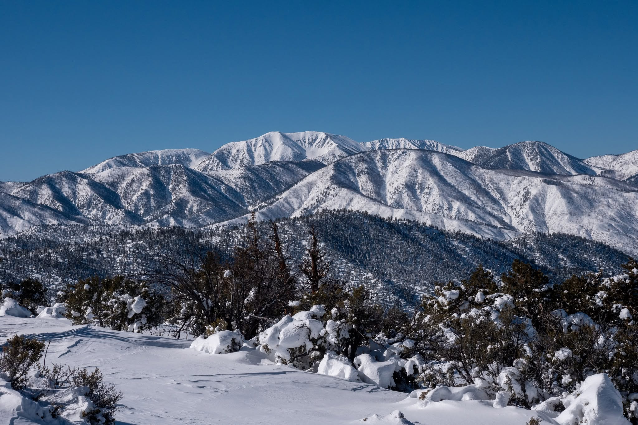
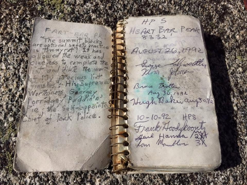
Heart Bar Peak is named after the ranch and its famous lodge that once encompassed this area, which now has become a pleasant campground nearby. From the summit one can view the San Gorgonio area to the south, and Sugarloaf and the Big Bear area mountains to the north. Nearby peaks it could be hiked in combination with are Constance, Onyx, or Three Sisters.
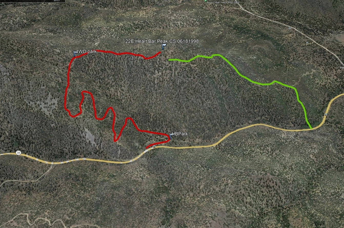
Route 1 ascends a rough high clearance road from Highway 38 to the summit ridge. Much of it can be driven with high clearance or 4WD vehicles if desired.
Maps generated from CalTopo.com, reproduced with permission
Driving route
Take I-10 east past San Bernardino to the Orange Street exit (SR 38).
Go one block east, then go north (left) 0.5 mile to Lugonia Avenue. Turn right on SR 38 (east).
Continue east on SR 38 about 33 miles to 1N02, the road to Heart Bar Campground, on the right. Keep straight.
Go another 1.6 miles farther east on SR 38 to an obscure, paved road signed 1N38 that intersects the main highway at a right angle (mileage marker 35.12 marks the exact spot). Turn right. Park on this road just off the main highway or drive downhill (pavement ends within 50′) to a clearing and park about 100 yards from the highway turnoff.
This point may be reached from Big Bear City by driving about 13.5 miles east and then south on SR 38.
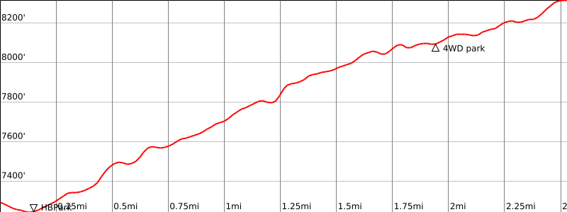
High clearance 4WD may continue another gnarly 2.0 miles, reducing this to a 1 mile round trip hike with very little elevation gain.
Hiking route
From the parking area (7240′), go up the seldom driven jeep track that starts at the parking area and runs southeast along the base of the slope.
Follow the dirt road past a gully, then up switchbacks to the saddle northeast of elevation 8176′.
Turn right (west) at a junction with an old overgrown road at the saddle, follow the road around elevation 8176′ into a second shallow saddle, and then around a minor summit to a third saddle. The road forks here.
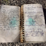
Take the left fork, which quickly swings around to the right, and then leave the road at its apparent highest point to climb south for a short, steep distance to the summit, which is a rocky outcrop with a dead tree on it.
Additional Peak Information
Alternate routes: Going north directly down the steep slopes to the car can shorten the return trip. The peak can be climbed by this route.


You must be logged in to upload images.