Bertha Peak

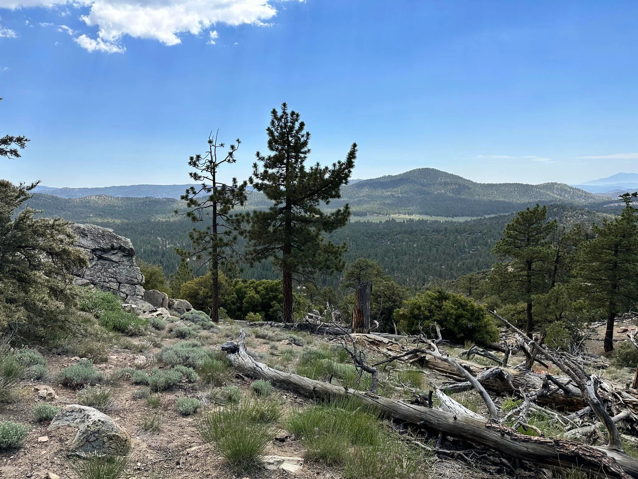
Bertha Peak, taken from Arctic, Photo by Sunny Yi.

Peak Name

Bertha Peak
21G

Elevation

8201

 feet

Status

active

Region

North Of Big Bear Lake

Range

San Bernardino Mountains

Nearby peaks

Location

34.2830617,-116.899199

Description

At 8,201 feet, Bertha Peak offers fantastic foreground views of Big Bear Lake, backed by a birds-eye view of many of the tallest peaks in the San Gorgonio Wilderness. To the north and east, respectively, on clear day, one can see as far as Telescope Peak and Mount Charleston.

Route 1 is a short hike up a dirt road that services the communication site atop Bertha Peak. Route 2 offers a maintained trail (including a short stretch of the PCT) for most of its length, except the last mile which is co-located with the road that comprises Route 1. Both routes are relatively sun-exposed, Route 2 can be an enjoyable snowshoe experience in winter. Route 2’s parking is at the Cougar Crest trailhead which does have restrooms (federal pass required to park in the lot).

Maps generated from CalTopo.com, reproduced with permission

Route 1
Elevation Gain
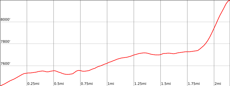
800′
Navigation Difficulty
Easy
Distance
3 1/4 miles round trip on trail and cross-country
Estimated time
2 hours round trip
Route Rating
Class 1, easy
Leader Rating Required
“I”, normal conditions

Driving route

Drive east on I-10 to I-215.
Drive north on I-215 to SR 210.
Drive east on SR 210 to SR 330.
Drive north on SR 330 to SR 18 at the town of Running Springs.
Drive east on SR 18 to the dam at Big Bear Lake. Turn left on SR 38.
Drive on SR 38 to Fawnskin.
Continue east on SR 38 for 2.0 miles to Polique Canyon Road (Holcomb Valley turnoff). Turn left (north). Note your odometer and go as follows:
At 1.5 miles, T intersection with 2N71 to the left. Go right (northeast) on 2N09.
At 2.0 miles, a gated road on the right. Park here.

Hiking route

From the parking area (7420′), hike north on 2N09 about 250 yards to where the Pacific Crest Trail (PCT) crosses the road. Turn right (east).
Continue about 1 1/2 miles to where the PCT begins to pass the north slope of Bertha.
Leave the trail here and hike southeast up the slope to the summit. There is a radio transmitter site on the summit.

Route Notes

Alternate routes: From the same parking area, pass the gate and hike east up road 2N09C to the summit.

Printable Route

Road Type

Paved

Google Maps Link to Trailhead 

Route 2- Cougar Crest trail
Elevation Gain
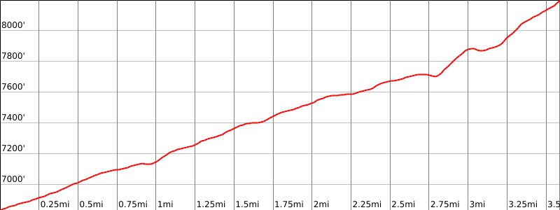
1500′ total, 1425′ out plus 75′ on return
Navigation Difficulty
Easy
Distance
7.0 miles round trip on trail and dirt road
Estimated time
3 hours round trip
Route Rating
Class 1, moderate
Leader Rating Required
“O”, normal conditions

Driving route

Follow Route 1 directions to Fawnskin.
From Fawnskin, continue 2.5 miles east on SR-38 to the Cougar Crest Trailhead parking lot. Park here.

Hiking route

From the Cougar Crest Trailhead (elevation 6850′) hike north about 0.1 mile on a paved walking path.
As the paved path turns to the right, continue straight on a dirt road and hike up to the Pacific Crest Trail (PCT).
Upon reaching the PCT (2 miles from your car), turn right and proceed another 0.5 miles to another dirt road.
Leave the PCT, turn right and follow this dirt road for about 1 mile to the summit.

Route Notes

Note: The views of Big Bear Lake from much of this route are very nice.

Printable Route

Road Type

Paved

Google Maps Link to Trailhead 

Nearby Peaks

Backus Peak
Owens Peak
Black Mountain #5
Morris Peak

External Links

mountain 1

Peakbagger.com

Click Here

ranger-tower 1

Nearest ranger station

Click Here

g311

NOAA Forecast

Click Here

worldwide 1

Google Earth

Click Here

Photo Gallery