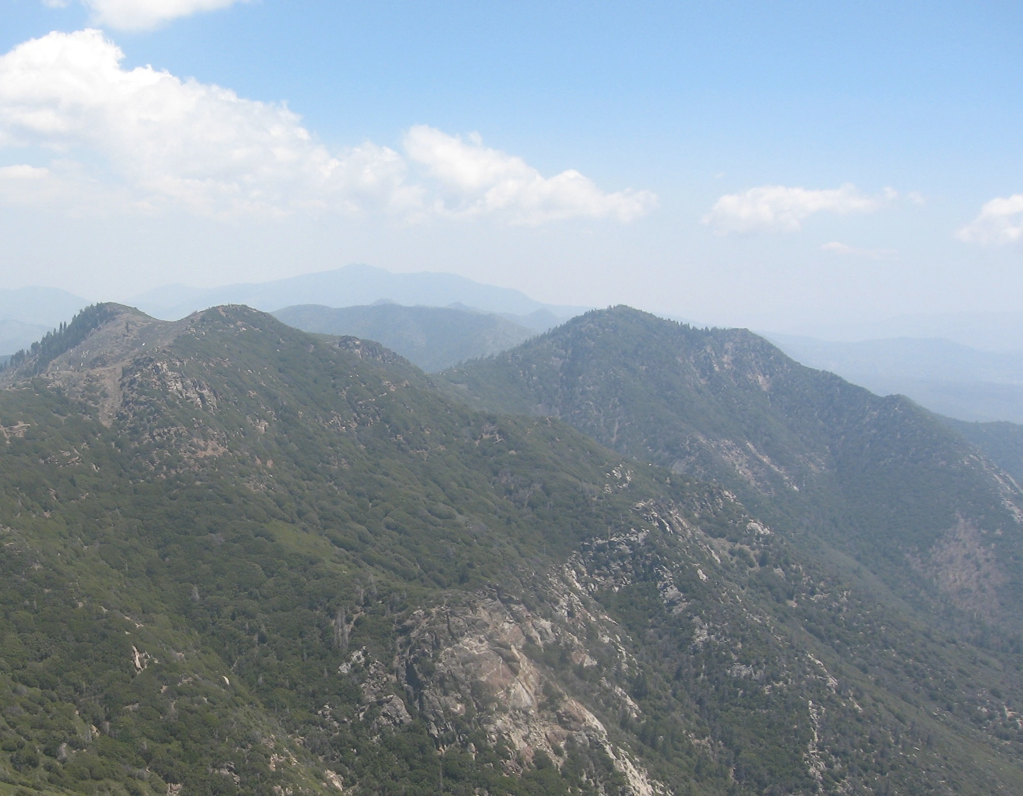
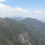
Apache and Spitler Peaks, taken from Antsell Rock, photo by Kathy Wing
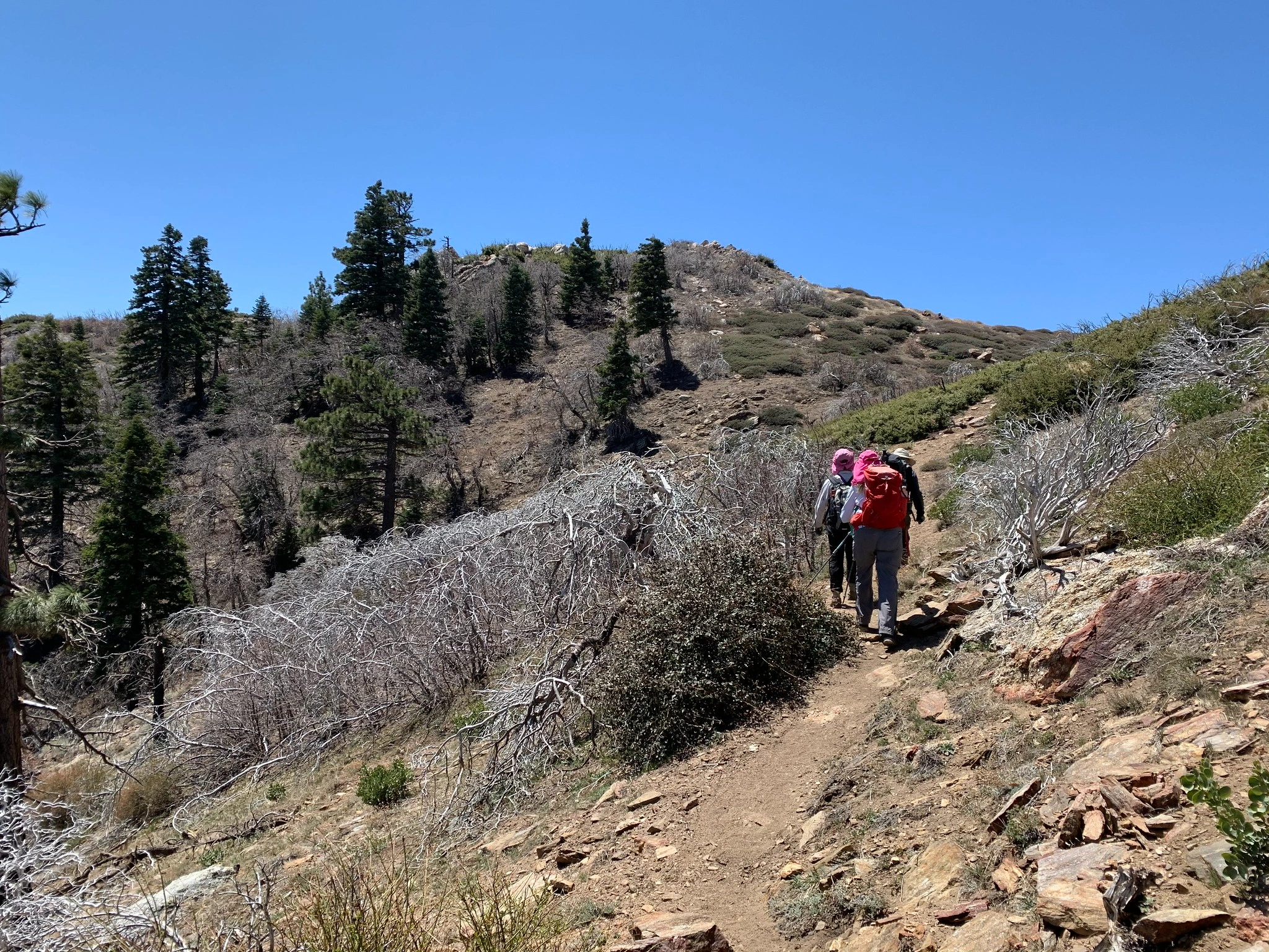
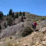
SpitlerPeak, taken from PCT, photo by Sharon Moore
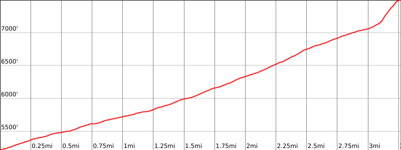

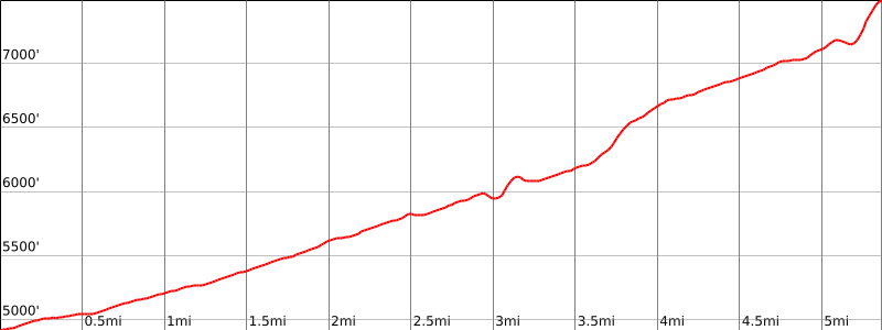

Peakbagger.com

Nearest ranger station

NOAA Forecast

Google Earth


