Peak Name
Elevation
feet
Status
Region
Range
Nearby peaks
Location
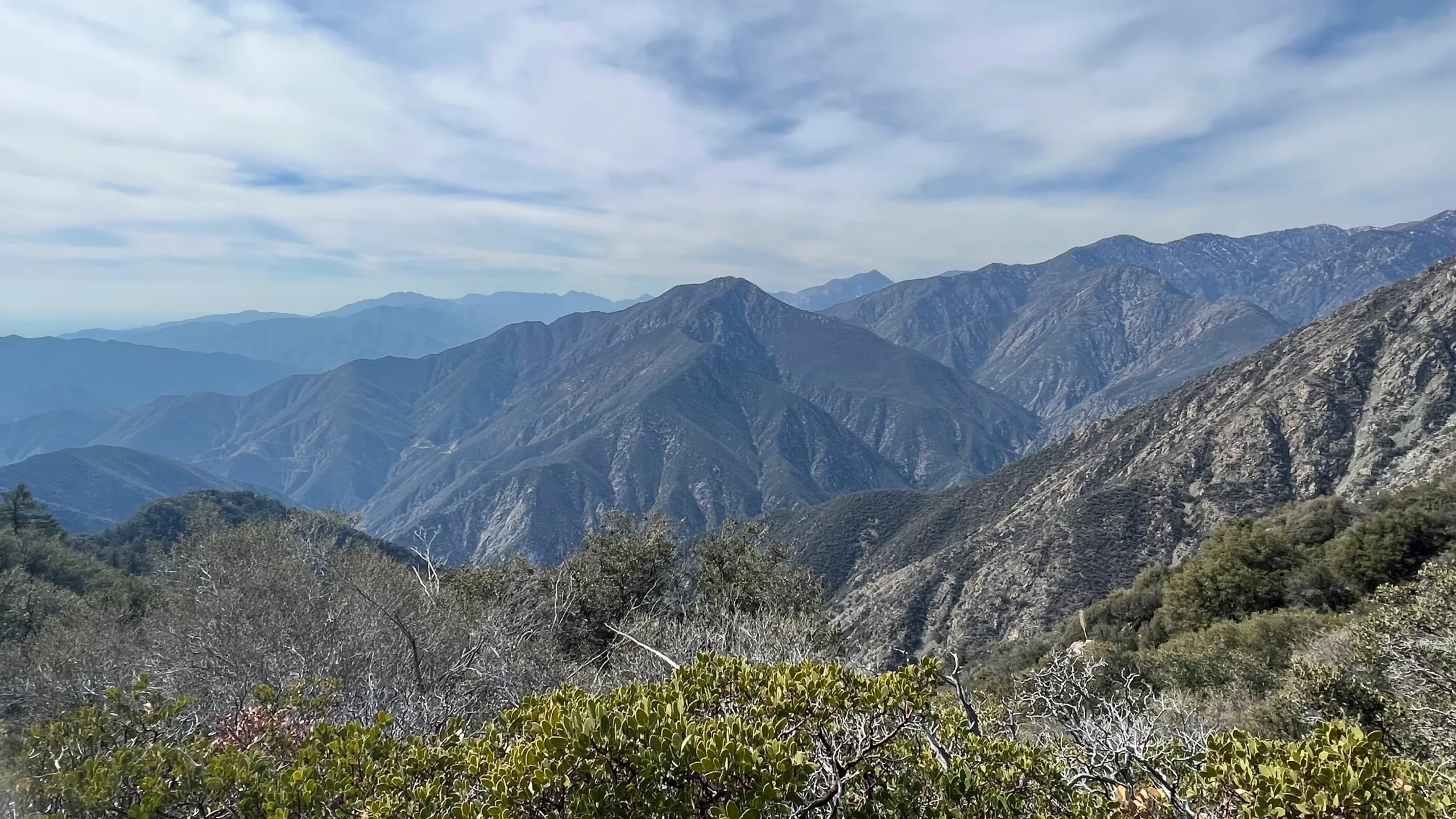
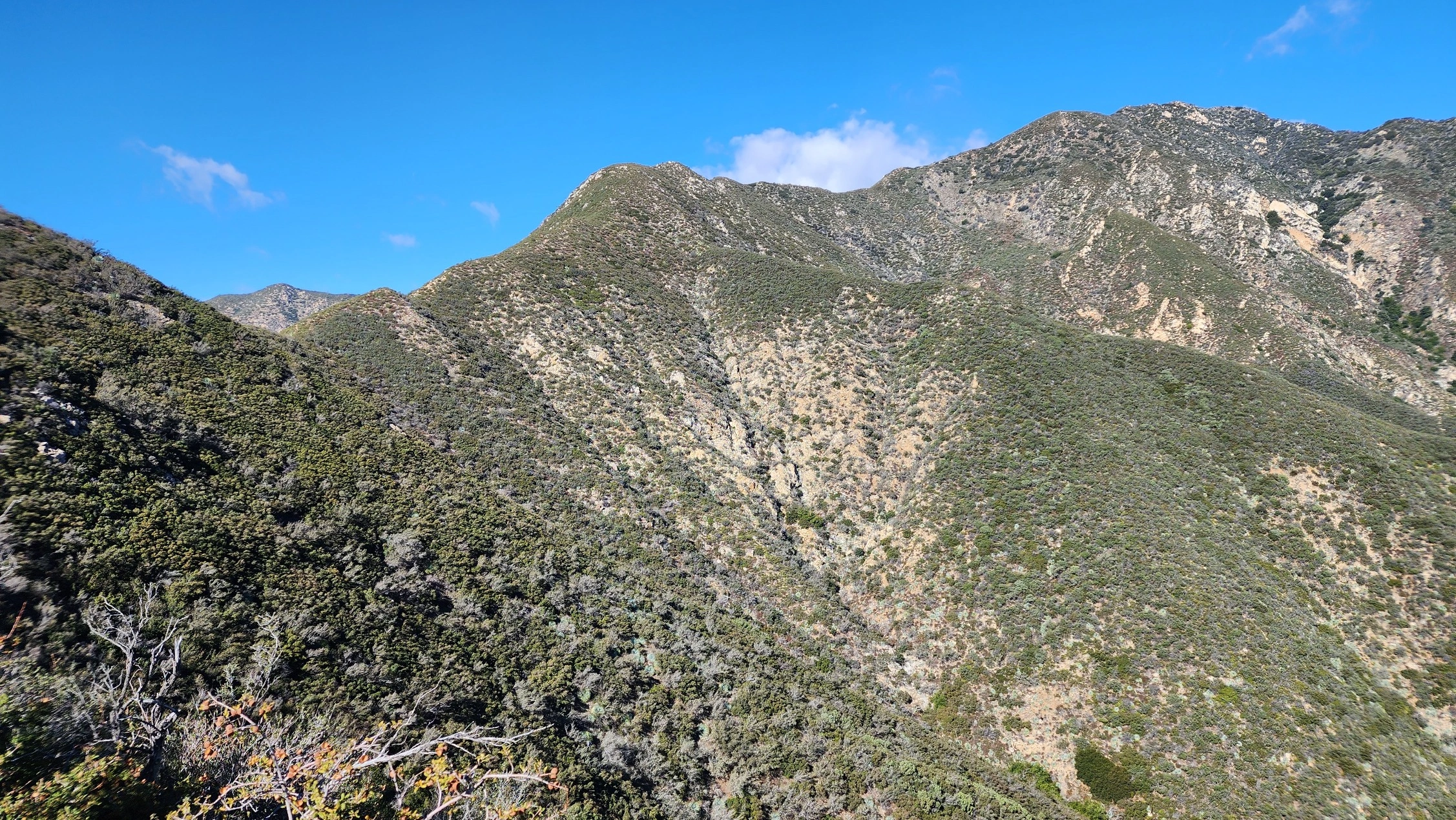
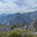
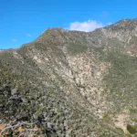
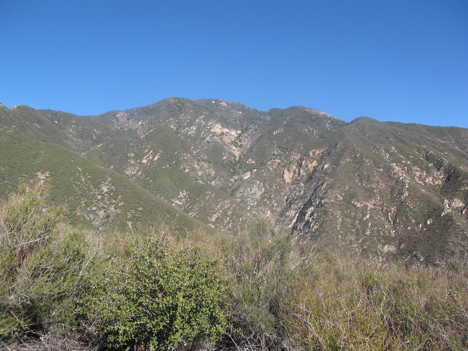
Rattlesnake Peak, a hike up its fang’s long serpentine ridge, is tougher and more challenging than its stats reveal; yet, there is great satisfaction in gaining the summit and taking in views of the surrounding wild canyons and mountains: Big Iron, South Hawkins and Islip among them. You can also see the Bridge to Nowhere if you pass the summit to the small plateau just north and below the summit. Similar in terrain to Big Iron next door, Rattlesnake is good training for it.
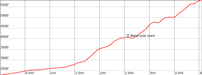
Route 1 is the most common route. As it ascends from the road it is sometimes hard to follow and overgrown in places. Following the trail where possible and staying on the ridge are the simplest rules for this trail. You may not realize it as you begin to climb the ridge, but the summit is visible far to your right at the top of the ridge. There are a few false peaks with sizable descents in between making this a challenge both up and down. On your descent there are numerous false ridges on your right that you could get diverted down; paying attention, staying left and looking for a metal pole in one spot will keep you on track. Route 2 is more of a use trail and the condition of this trail is unknown. Route 3 heads northeast from the road on trail to a ridge and brushy firebreak. All routes are steep and loose in places; this hike is not for everyone, but for those who enjoy a challenge it is very satisfying. There is no shade on the routes and the area can be quite hot; it is generally avoided in summer. Combining Route 1 and Route 2 (either direction is ok) make an interesting loop hike.
Note that as of this writing (4/24) Shoemaker Road has been intermittently closed, limiting access to Routes 1 and 2. Its long term status is unclear. It might be possible to hike from East Fork Road below up a short distance to the parking area for Route 1, but the viability of this route has not been verified.
Maps generated from CalTopo.com, reproduced with permission
Driving route
From the intersection of I-210 and Azusa Avenue (SR 39), drive north on Azusa Avenue about 12 miles to the junction at the East Fork Road. Turn right (east).
Cross the bridge and go 3.3 miles to Shoemaker Road on the left. Turn left.
Pass a sign “Not a Through Street” and go 1.9 miles to a parking lot at a locked gate. Park here. Ample parking.
Hiking route
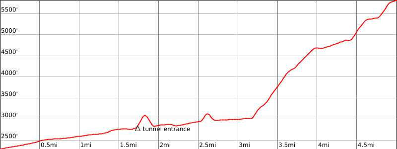
From the parking area (2300′), pass the gate and hike up the road 1.5 miles to a gully shortly before a deep two-sided road cut. If you can see the entrance to the tunnel you have gone too far.
Go up the steep left bank of the gully and pick up an old overgrown road. Follow this up around to the right as it crosses the gully and comes to a flat area with a ridge going up on the left.
Leave the road and go up this ridge northwest to where it turns left at about 3500′.
Continue west up the ridge about 1/2 mile to bump 4040′ on the main ridge.
Turn right and go up the ridge northwest over several bumps and down to a saddle at 4720’+.
Then continue up to the summit.
Special conditions: Make careful note of your route on the way to the summit as it is easy to make a mistake on the return trip. Make sure you go down the ridge to the west-southwest that starts at bump 4040′. There is a steel post marking this spot.
Driving route
See Driving directions for Route 1.
Hiking route
From the parking area (2300′), pass the gate and hike up the road 1.6 miles to the entrance to a tunnel (see the date “1961” near the top of the tunnel.)
Proceed through the tunnel and continue on the road to a second tunnel (see the date “1964” near the top of the second tunnel).
Continue thorough the second tunnel on the road passing two large gullies.
300 yards after the second big gully, find the steep use trail to the east ridge.
Continue on the use trail, which contours north, then east, then north again, then east again for a distance of about 3/4 mile from the second tunnel with little elevation gain or loss to a second use trail to the left, which may be marked with a very large duck.
Proceed steeply up the second use trail as it heads north. After about 1/4 mile the use trail reaches the east ridge to Rattlesnake Peak at approximately 3500′.
Follow this ridge, which is a Wilderness Boundary, northwest to bump 4691, then west, then northwest again to the summit.
Return to the parking area via Hiking Route 1. (A return via Hiking Route 2 will add an additional mile.)
Route Notes
Driving route
From the intersection of I-210 and Azusa Ave (SR 39) drive north on Azusa Ave 11.9 miles to East Fork Road. Turn right (east) and reset your odometer.
Drive 2.2 miles, just beyond the entrance to Los Angeles County Fire Camp 19, and park on the right.
Note: DO NOT park in the large open space on your left across from the entrance road to the Fire Camp (at 2.15 miles).
Hiking route
From the parking area (1600′), walk back along East Fork Road to the large open space across from LA County Fire Camp 19.
Proceed about 40 yards into the open space and turn right where the trail begins by dropping down about 10 feet. (Do not take the trail that climbs on the left.)
Follow the trail as it winds its way south and then east and then north.
At 0.25 mile, the trail forks. Go left. (The right fork goes over a false summit then rejoins the main trail at the 2200′ saddle, adding negligible mileage and an extra 50′ of gain.)
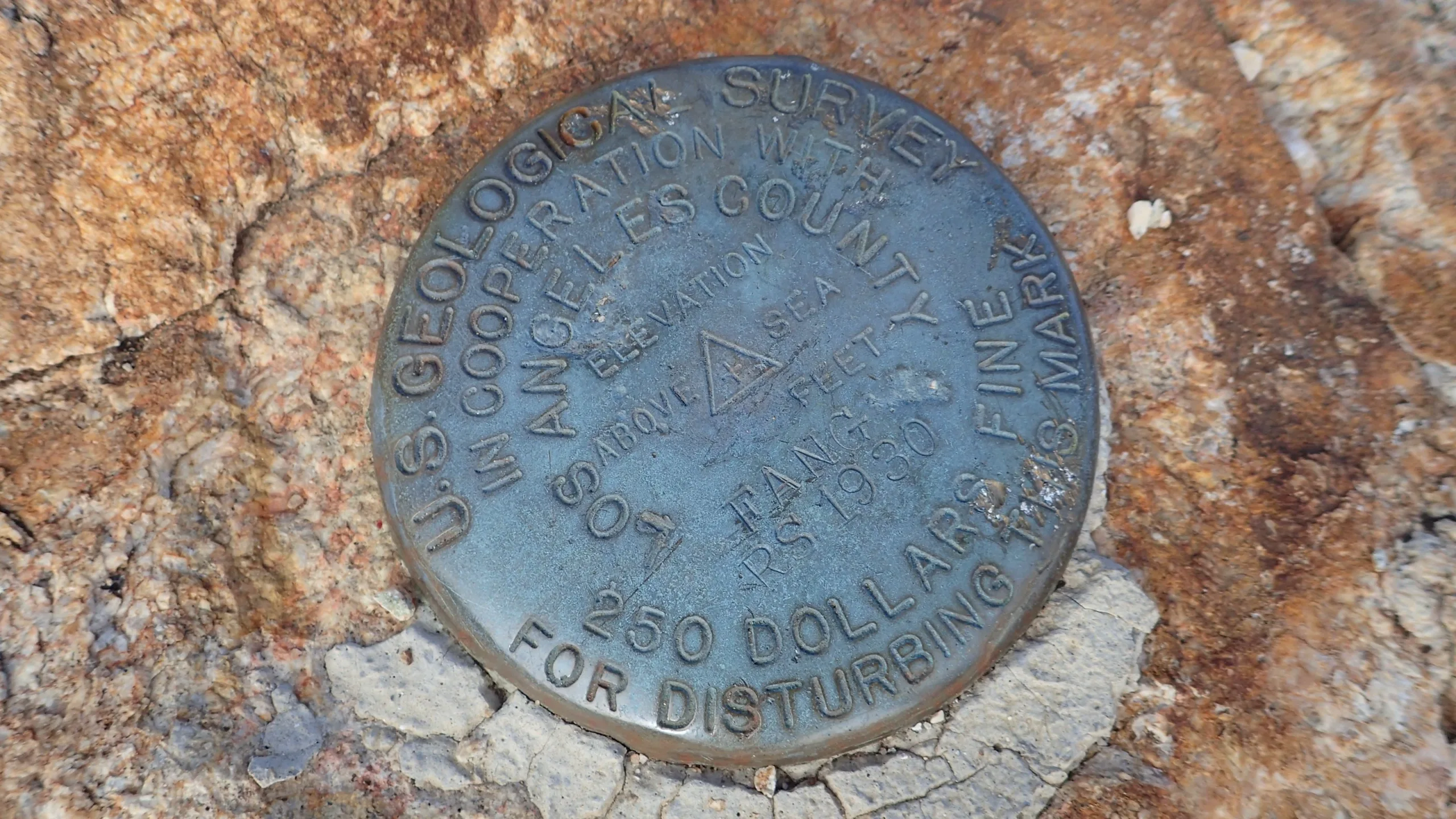
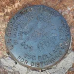
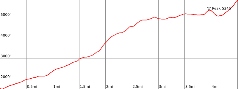
Follow the trail north along a prominent ridgeline for about 4.75 miles — the trail reaches a saddle at 2200′, and then continues along the ridgeline up and over bumps 4546′, 5021′, and to the summit of Peak 5346′ (which has the benchmark “West Fang.”).
From Peak 5346′, the trail turns east and drops down to a saddle at 5000′
From the 5000′ saddle, climb steeply and directly to the summit, veering slightly right or left of rock outcroppings.
Note: Setting up a car shuttle and returning via Route 1 is recommended.
Additional Peak Information
Note: This peak is not recommended in the heat of summer due to dehydration problems.
Alternate routes: Rattlesnake Peak has been climbed via the ridge from South Mount Hawkins (LO). It is reported to be extremely brushy at one spot.
Historical note: Shoemaker Road was originally intended to be an escape route from the Los Angeles area in case of nuclear attack. It was begun in the early days of the Cold War. It was soon abandoned as it was too expensive and a poor idea.


You must be logged in to upload images.