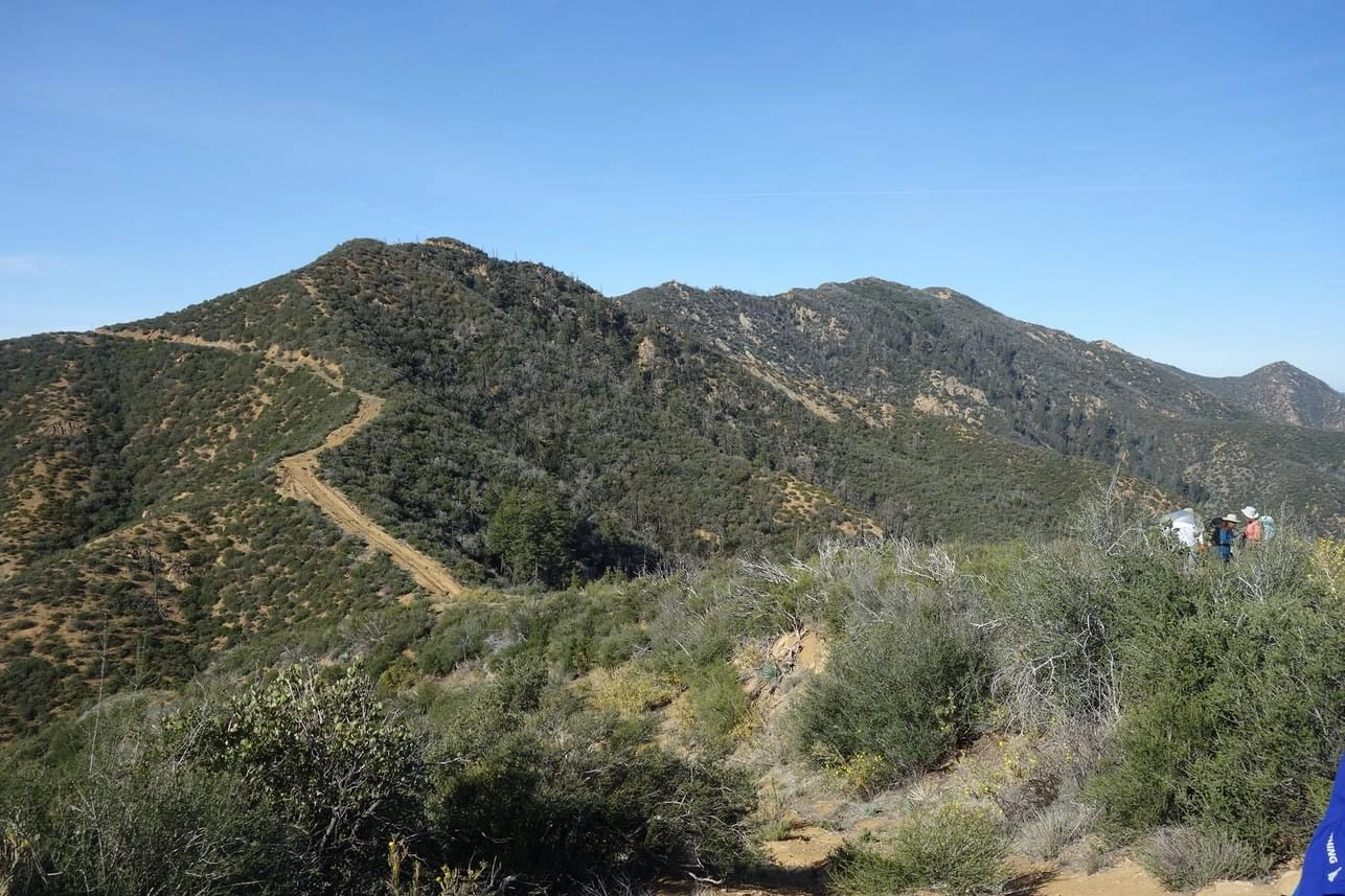
Hildreth, ridge to peak, photo by Jim Hagar
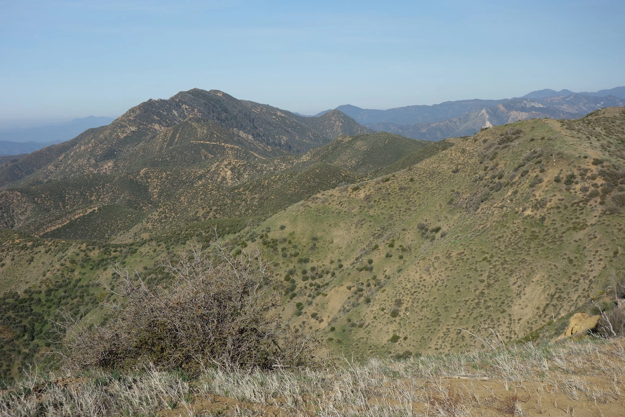
Hildreth Peak, photo by Teresa Spohr


Peakbagger.com

Nearest ranger station

NOAA Forecast

Google Earth


