Mount Lukens

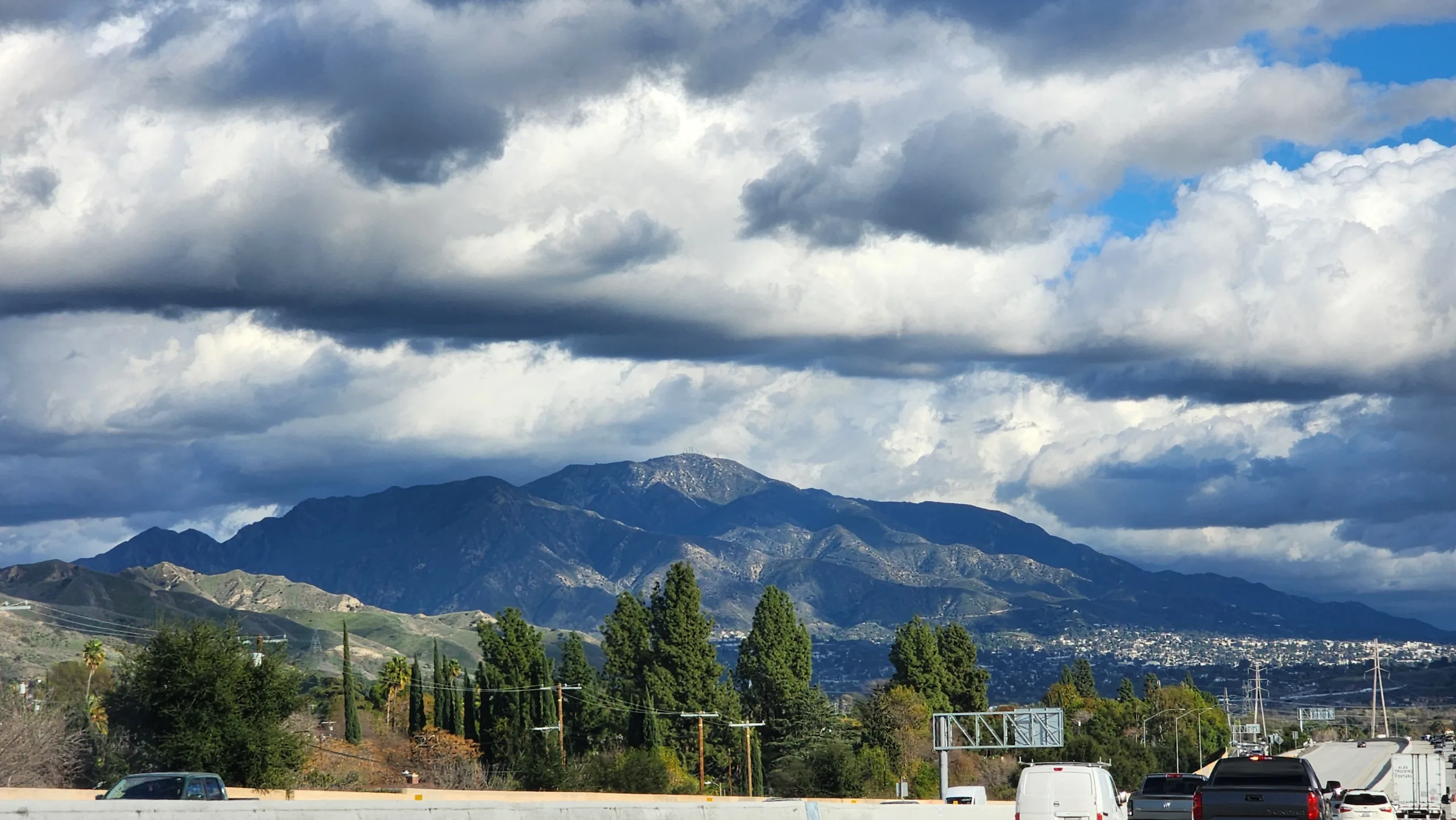
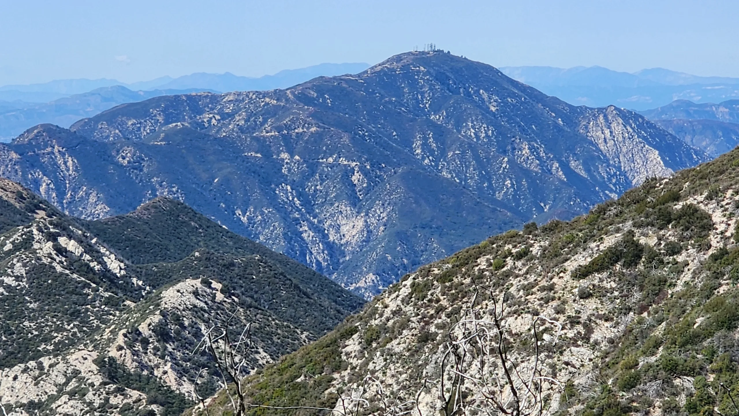
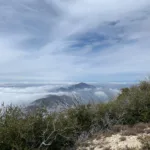
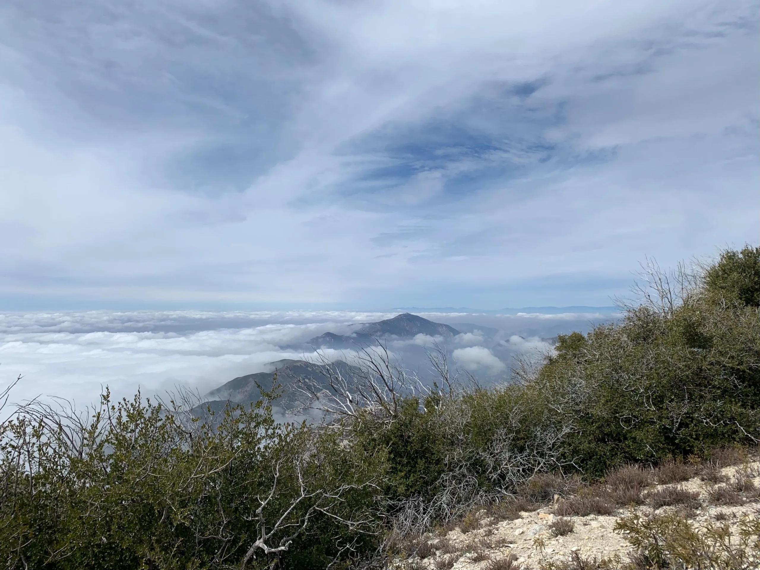
Mount Lukens, Photo by Sharon Moore.

Peak Name

Mount Lukens
09E

Elevation

5074

 feet

Status

active

Region

West Of Mill Creek

Range

San Gabriel Mountains

Nearby peaks

Location

34.268891,-118.2389643

Description

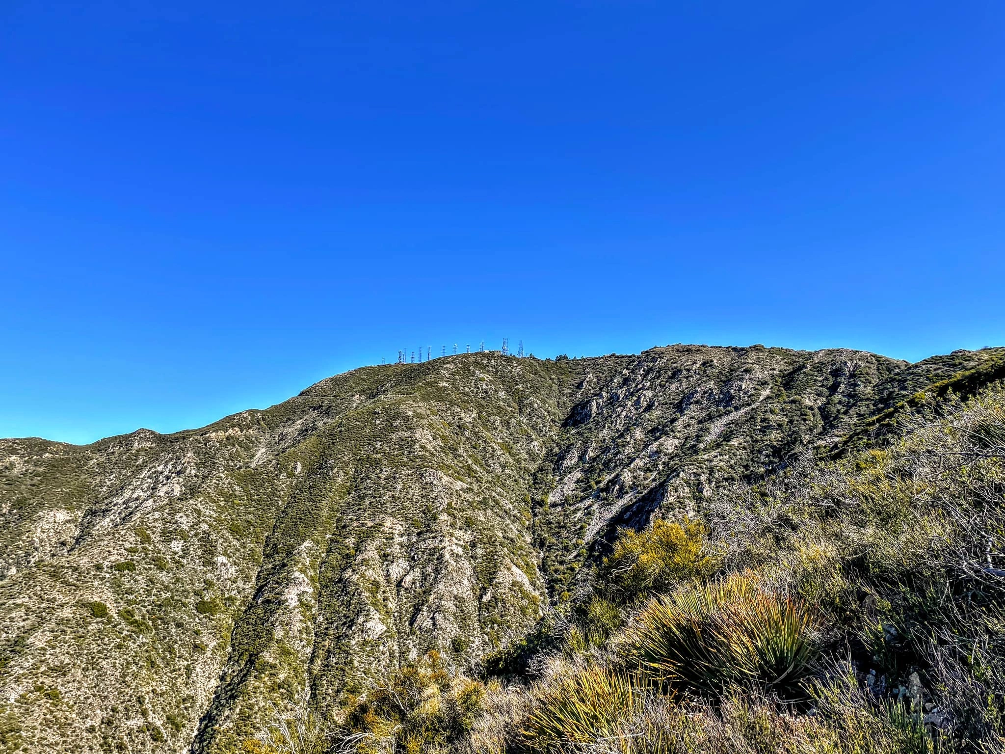
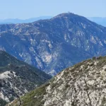
Mount Lukens, the highest point in the city of Los Angeles, is a popular hiking destination. It was formerly named Sister Else Peak, and one HPS member’s interesting hunt for the real story of Sister Elsie (as her name morphed into) is described in the summit history page. There are numerous routes from literally all directions to the peak, which has sweeping views of the Los Angeles basin, San Fernando Valley, Big Tujunga and often the ocean.

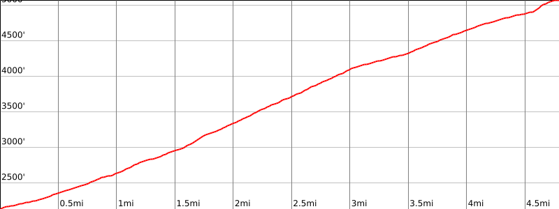
Route 1 is the Stone Canyon Trail from the north, which begins from Big Tujunga Road. This is the shortest and steepest route and is quite scenic. Route 2 begins from a turnout on Angeles Crest Highway. After ascending a short and very pretty initial section, it joins Mount Lukens Road and becomes a moderate up-and-down road hike with intermittent good views of the cities below. Routes 3 and 4 begin in Deukmejian Wilderness Park (subject to its hours of operation) with its network of well maintained and well signed trails. Route 3 heads west then north through scenic Cooks Canyon, then joining the Rim of the Valley trail and the Haines Canyon road up to the peak. Route 4, the Crescenta View Trail, goes up to the peak from the east, joining route 2 for the final section. Routes 3 and 4 can be hiked as a pleasant loop hike. Route 5 climbs Haines Canyon on road and is joined by route 3. There are a variety of other approaches to Lukens, such as from Clear Creek Ranger Station, Earl Canyon and Hay Canyon.

Maps generated from CalTopo.com, reproduced with permission

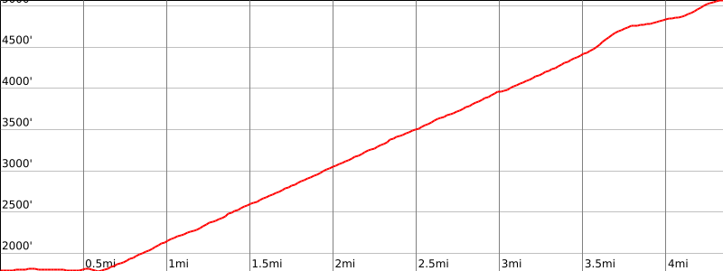
Route 1- Stone Canyon Trail
Elevation Gain
3300′
Navigation Difficulty
Easy
Distance
7 miles round trip on trail and fire road
Estimated time
6 hours round trip
Route Rating
Class 1, moderate
Leader Rating Required
“O”, normal conditions

Driving route

From the intersection of Mt. Gleason Road and Foothill Boulevard in Sunland, go north on Mt. Gleason Road 1.4 miles to Big Tujunga Canyon Road. Turn right.
Go 4.4 miles to Doske Road. Turn right.
Turn left on Stonyvale Road and continue 1/4 mile to a parking lot. Park here.

Hiking route

From the parking area (1800′-), hike past the steel barricade and continue east along the north side of the stream bed about 1/4 mile to a point just past the wide rocky wash visible across the stream bed.
Cross the stream here and pick up the Stone Canyon Trail, 13W07. Follow this trail to where it meets a road just northwest of the summit at 4800′.
Ascend southeast on this road, staying left when it joins the road coming up from Tujunga.
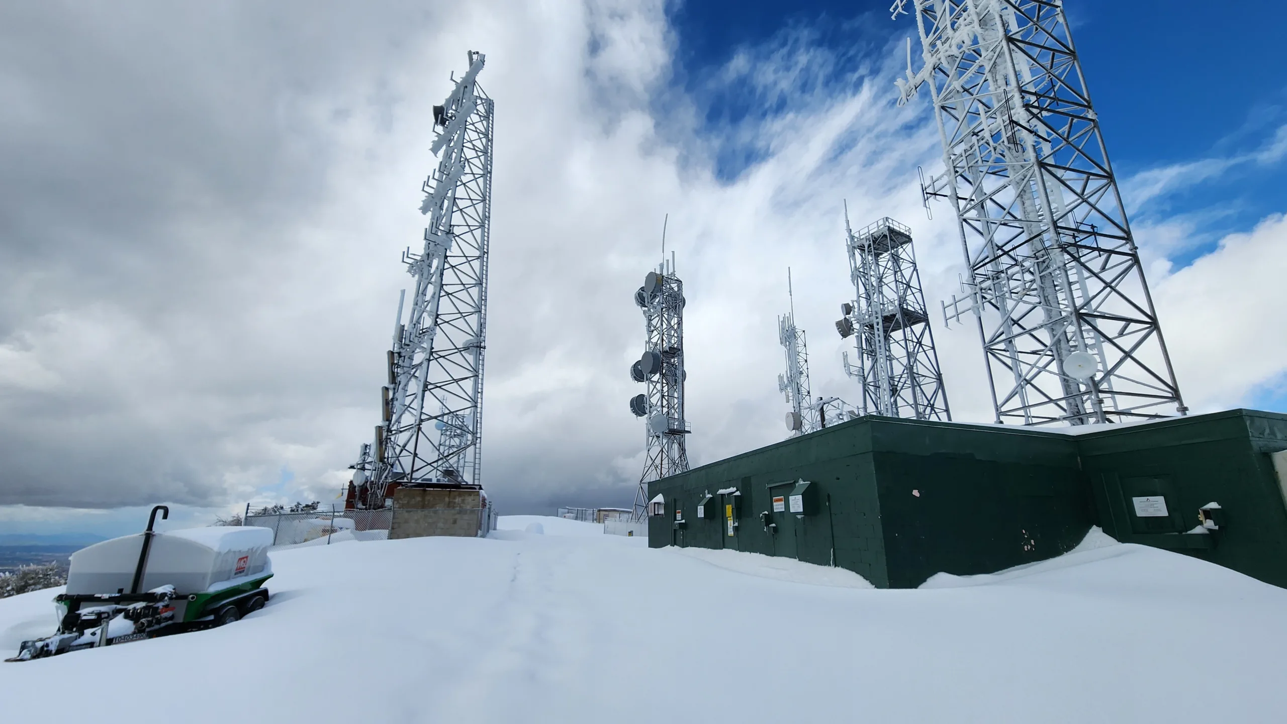
Continue on to a concrete water tank, then turn right (west) to the summit amidst radio towers. The register is at a false summit east of the radio towers.

Route Notes

Road Type

Paved

Google Maps Link to Trailhead 

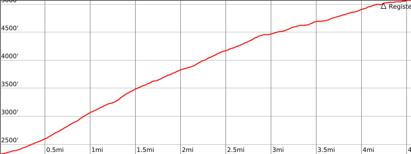
Route 2- From Angeles Crest Highway
Elevation Gain
2200′
Navigation Difficulty
Moderate
Distance
10 miles round trip on trail and fire road
Estimated time
5 hours round trip
Route Rating
Class 1, moderate
Leader Rating Required
“O”, normal conditions

Driving route

From the intersection of I-210 and Angeles Crest Highway in La Cañada, drive north on Angeles Crest Highway 5.5 miles to mileage marker 30.0. Park on the west side of the road. There is more space a little farther on the east side of the road.

Hiking route

A trail starts from the parking area (3000′) at a small ‘No Fires’ sign. Follow it as it climbs ½ mile through a cut area to a logging road.
Go right (northwest) on the logging road for 1/4 mile to a saddle where it intersects 2N80.
Go left and hike up 2N80 about a mile to where it intersects 2N76 that comes up from the southeast.
Turn right on 2N76 and follow it northwest up to the summit. The register is at a false summit east of the radio towers and north of the road at the point where it gains the summit ridge.

Route Notes

Road Type

Paved

Google Maps Link to Trailhead 

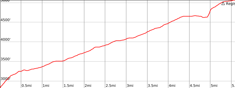
Route 3- Cooks Canyon Trail
Elevation Gain
3000′
Navigation Difficulty
Easy
Distance
9 miles round trip on trail and fire road
Estimated time
5 hours round trip
Route Rating
Class 1, moderate
Leader Rating Required
“O”, normal conditions

Driving route

From I-210 east or westbound in La Crescenta take the Pennsylvania Avenue exit north to Foothill Boulevard.
Turn left (west) on Foothill Boulevard to Dunsmore Avenue.
Turn right (north) on Dunsmore Avenue to George Deukmejian Wilderness Park (City of Glendale). Turn right at Markridge Road and go 0.2 mile to the park entrance, enter the park, and park in large gravel parking area. Unlimited parking.

Hiking route

The trailhead is near the stone building. Hike up the trail (old road) about 1/4 mile past a large oak tree on the left to a 3-way trail junction. The right branch is unsigned, the center branch has a sign reading in part “Dunsmore Canyon trail”, and the left branch has a sign reading in part “Rim of the Valley Trail”.
Take the left branch up to a shallow saddle with a junction. Continue right on the main trail. In 200′ there is a junction with a sign reading in part “Rim of the Valley Trail”.
Go left and take the trail down into Cooks Canyon, cross the canyon (very pretty), and exit via switchbacks to the west.
Continue west along the south-facing slope crossing two metal bridges and two small landslides (March 2001) to a ridgeline where the trail turns sharply to the right and ascends a very steep ridge to the Haines Canyon Truck Trail (2N76) at 3520′.
Follow the Haines Canyon Truck Trail to the summit. The register is at a false summit east of the radio towers and north of the road at the point where it gains the summit ridge.

Route Notes

Road Type

Paved

Google Maps Link to Trailhead 

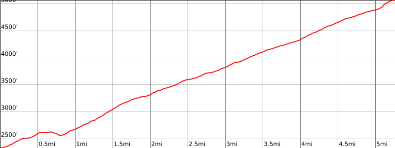
Route 4- Crescenta View Trail
Elevation Gain
2800′
Navigation Difficulty
Easy
Distance
9 miles round trip on trail and fire road
Estimated time
5 hours round trip
Route Rating
Class 1, moderate
Leader Rating Required
“O”, normal conditions

Driving route

From I-210 east or westbound in La Crescenta take the Pennsylvania Avenue exit north to Foothill Boulevard.
Turn left (west) on Foothill Boulevard to Dunsmore Avenue.
Turn right (north) on Dunsmore Avenue to George Deukmejian Wilderness Park (City of Glendale). Turn right at Markridge Road and go 0.2 mile to the park entrance, enter the park, and park in large gravel parking area. Unlimited parking.

Hiking route

The trailhead is near the stone building. Hike up the trail (old road) about 1/4 mile past a large oak tree on the left to a 3-way trail junction. The right branch is unsigned, the center branch has a sign reading in part “Dunsmore Canyon trail”, and the left branch has a sign reading in part “Rim of the Valley Trail”.
Take the center branch about 150′ to a junction on the right signed “Crescenta View Trail”.
Go right and hike toward a check dam about 200′ distant. Hike 100′ to a junction and a large boulder pile on the left.
Go left and hike to and over the left shoulder of the check dam.
Cross the creek behind the check dam and climb the switchbacks to the bench on the east side of the creek.
Continue on the trail to the east ridge of Mount Lukens. The trail is being rehabilitated. The upper section is overgrown in places, and the trail tread needs repair. At 4120′ the trail reaches a bench with a large broken down dead tree on the right and a large pile of stones on the left. Turn left and follow the bulldozer track that becomes a fire road (2N76B) to the east ridge and a junction with 2N76 (4600′).
Turn left and follow 2N76 to the summit. The register is at a false summit east of the radio towers and north of the road at the point where it gains the summit ridge.

Route Notes

Road Type

Paved

Google Maps Link to Trailhead 

Route 5 – Haines Canyon Trail
Elevation Gain
2900′
Navigation Difficulty
Easy
Distance
10.5 miles round trip on fire road
Estimated time
5-6 hours round trip
Route Rating
Class 1, moderate
Leader Rating Required
“O”, normal conditions

Driving route

From I-210 east or westbound in La Crescenta take the Lowell Avenue exit north to Foothill Boulevard.
Turn left (west) on Foothill Boulevard to Haines Canyon Avenue.
Turn right (north) on Haines Canyon Avenue to Day Street. Jog right on Day Street and continue on Haines Canyon Avenue to a locked gate. Park here. On street parking.

Hiking route

Pass the locked gate and hike up the Haines Canyon Truck Trail (2N76) to the summit. The register is at a false summit east of the radio towers and north of the road at the point where it gains the summit ridge.

Route Notes

Road Type

Paved

Google Maps Link to Trailhead 

Additional Peak Information

Historical notes: The peak is named for Theodore P. Lukens, Mayor of Pasadena in 1894. He was a noted advocate of reforestation.

Nearby Peaks

Backus Peak
Owens Peak
Black Mountain #5
Morris Peak

External Links

mountain 1

Peakbagger.com

Click Here

ranger-tower 1

Nearest ranger station

Click Here

g311

NOAA Forecast

Click Here

worldwide 1

Google Earth

Click Here

Photo Gallery