Peak Name
Elevation
feet
Status
Region
Range
Nearby peaks
Location
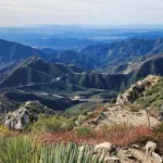
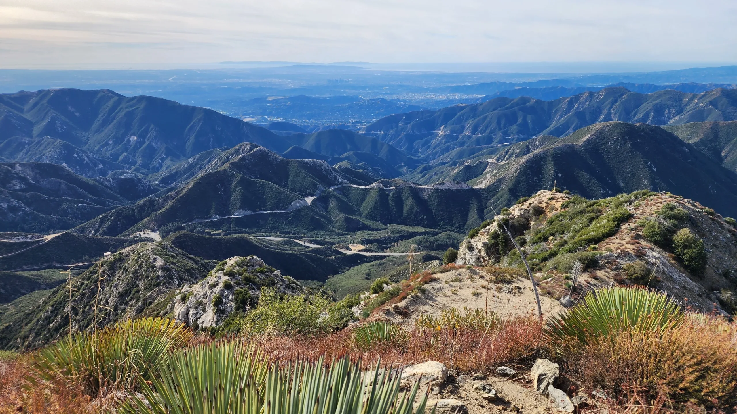
Josephine Peak, and adjacent Strawberry Peak, is the first prominent peak you encounter as you drive up Angeles Crest Highway and even as you look up to the San Gabriels from the La Canada area. A former fire lookout site, its lookout stood from 1937 to 1976, until it burned in the Big Tujunga Fire; only ruins remain. The peak affords excellent views of Angeles Crest and Strawberry Peak as well as views to San Gabriel Peak, Mount Wilson and the Pacific Ocean.
Route 1 is a straightforward fire road walk. Route 2 ascends Colby Canyon, which is quite beautiful, especially in the spring, to Josephine Saddle and then west on the ridge to the peak. Routes 1 and 2 can be combined for a loop hike with a short road walk or a car shuttle to avoid walking down Angeles Crest. The abandoned road past the water tank has been cleared in late 2023 and the hike across to the peak is very straightforward. It is possible to add Strawberry Peak Route 2 to a Josephine Peak summit, but plan on a car shuttle ending up at Red Box.
Maps generated from CalTopo.com, reproduced with permission
Driving route
From the intersection of I-210 and Angeles Crest Highway (SR 2), drive north on Angeles Crest Highway 9.5 miles to Angeles Forest Highway. Turn left and park here.
Hiking route
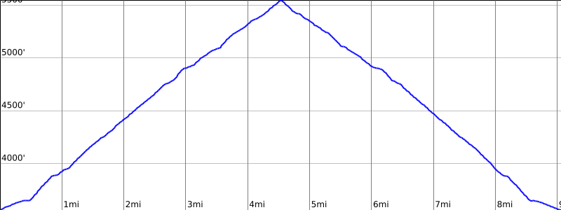
From the parking area (3648′), walk about 200′ north along Angeles Forest Highway to where a dirt road starts up on the right.
Turn right and follow this road up to a road fork on the ridge at about 4900′.
Turn left and follow the road up to the summit.
Driving route
From the intersection of I-210 and Angeles Crest Highway (SR 2), drive north on Angeles Crest Highway 9.5 miles to Angeles Forest Highway. Keep straight.
Continue about 1.0 mile to the Colby Canyon trailhead parking area on the left. Park here.
Hiking route
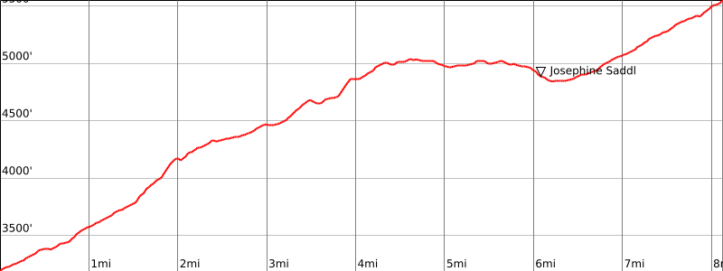
From the parking area (3500′), hike up the Colby Canyon Trail to where it meets the ridge at a water tank at about 4800’+. This is Josephine Saddle.
The Josephine Peak Trail (an abandoned road) begins on the left just past the water tank. Follow this old road west to where it intersects another road at about 4900′.
Turn right and follow the road up to the summit.
Route Notes
Additional Peak Information
Historical note: The peak is named for the daughter of Phil Beque, a ranch owner in the vicinity. There was formerly a lookout on the summit, but it burned in the fire of 1976.


You must be logged in to upload images.