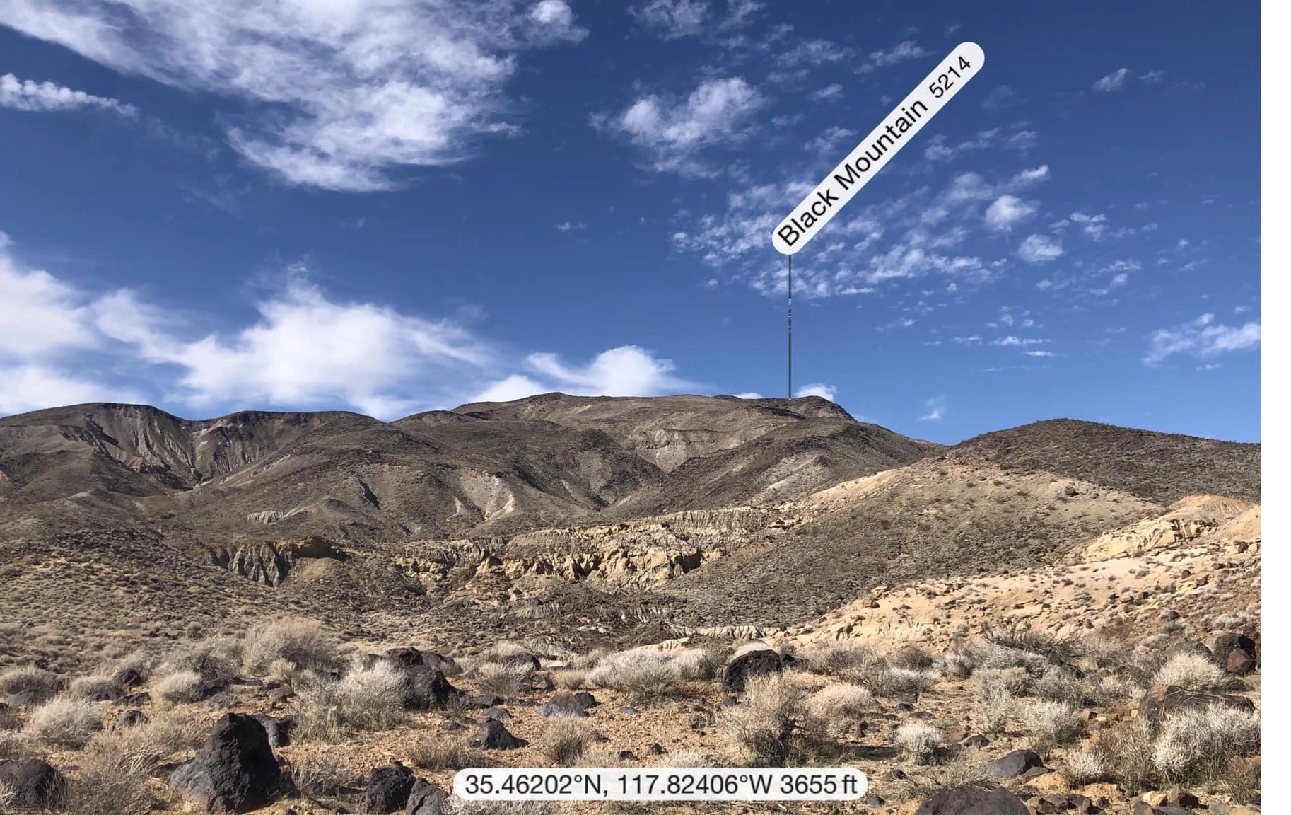
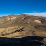
Black Mountain #6, photo by Kathy Wing
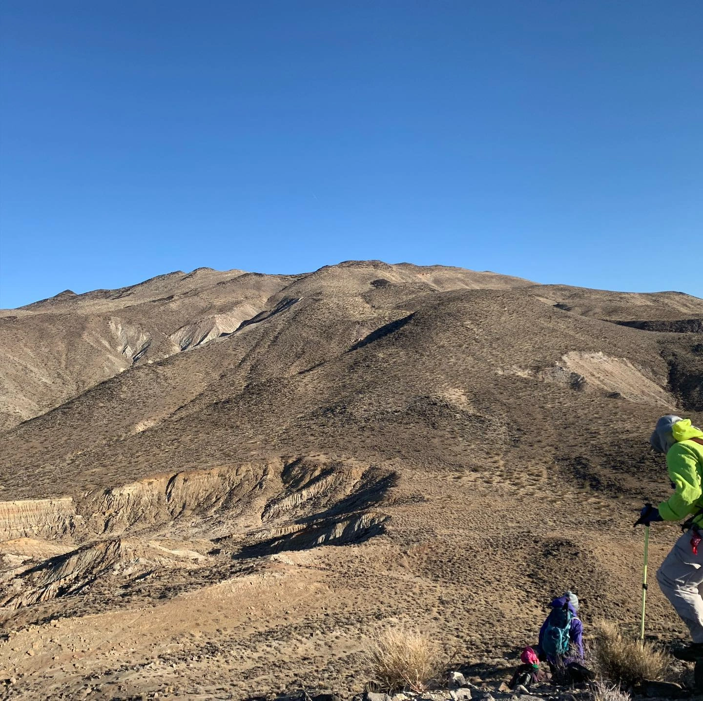
Black Mountain #6, photo by Mars Bonfire
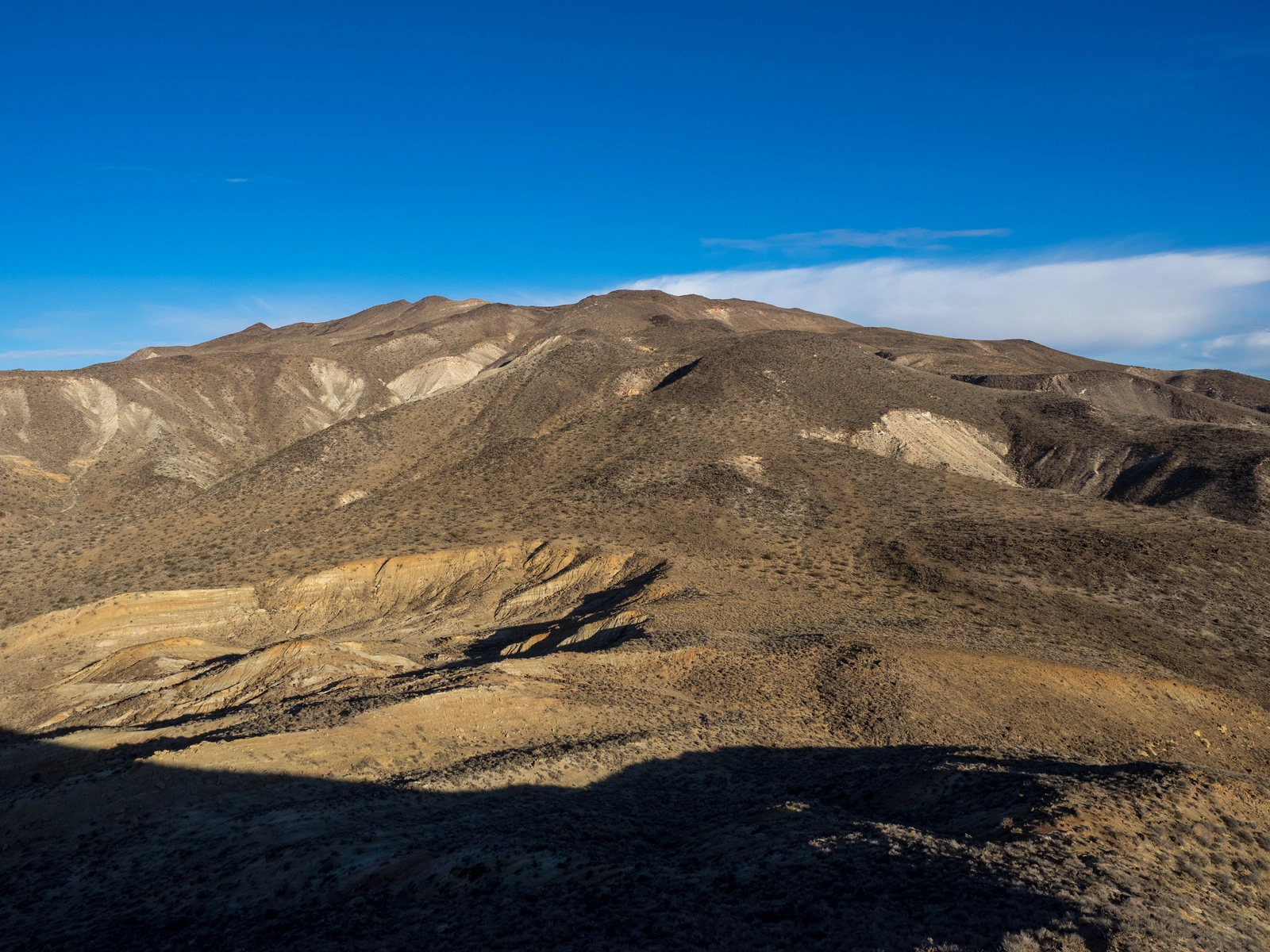
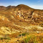
Black Mountain #6, photo by Sharon Moore
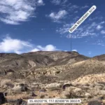
Black Mountain #6, photo by Sharon Moore
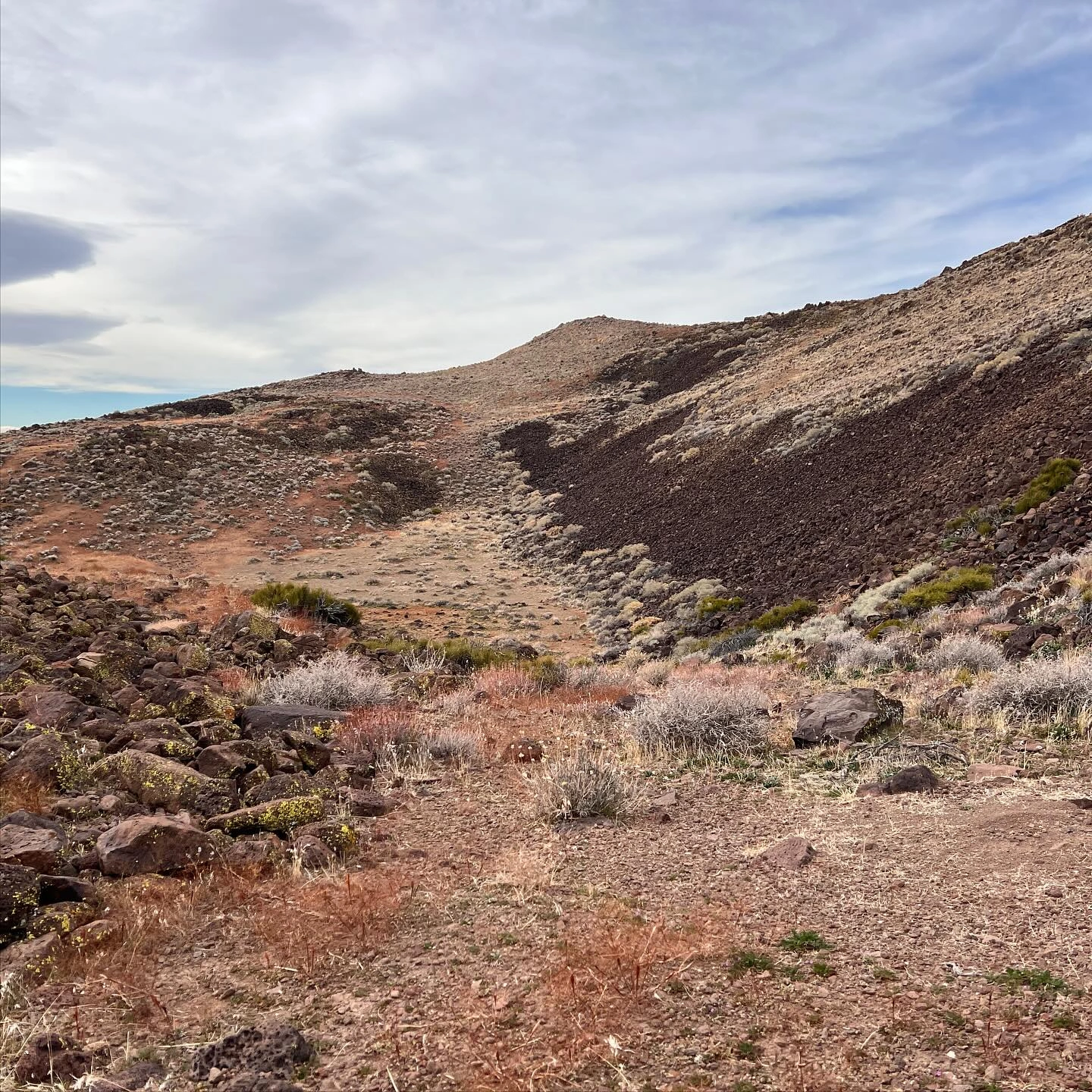
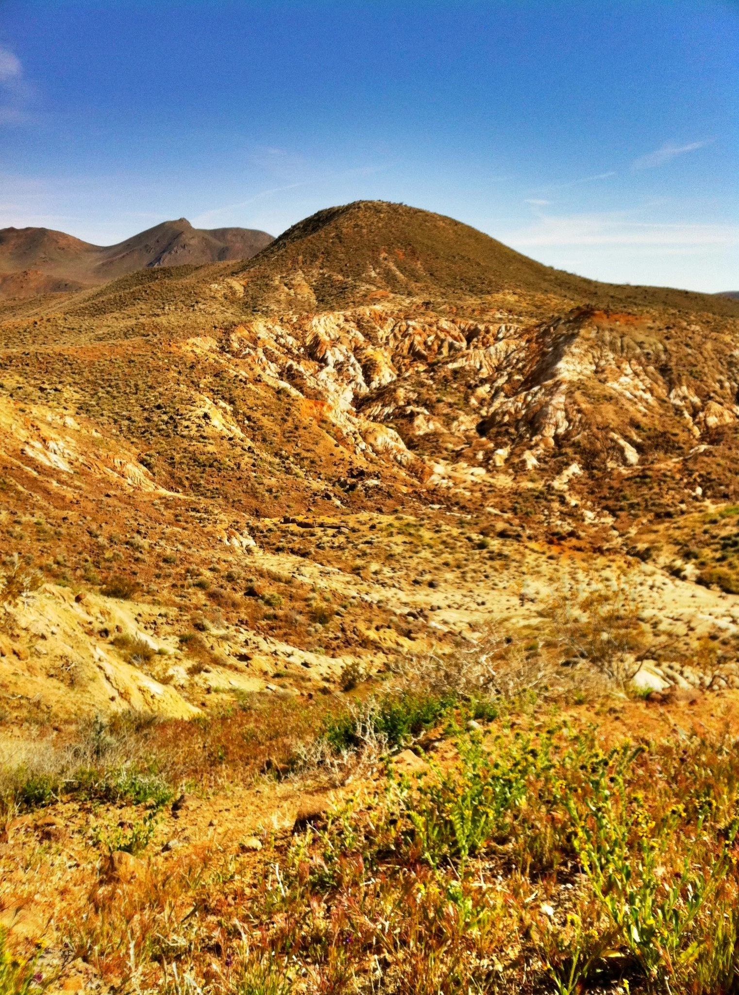
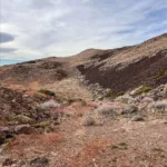
Lava Field near Black Mountain #6, photo by Sharon Moore

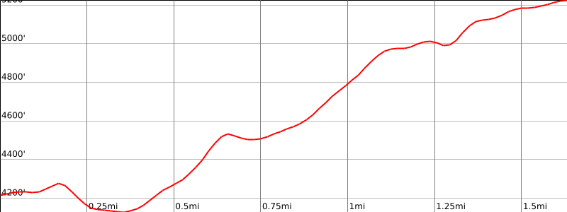

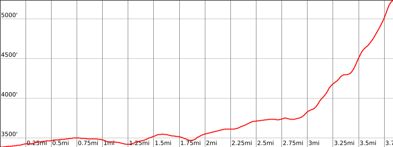
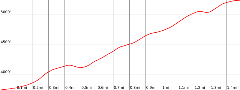

Peakbagger.com

Nearest ranger station

NOAA Forecast

Google Earth


