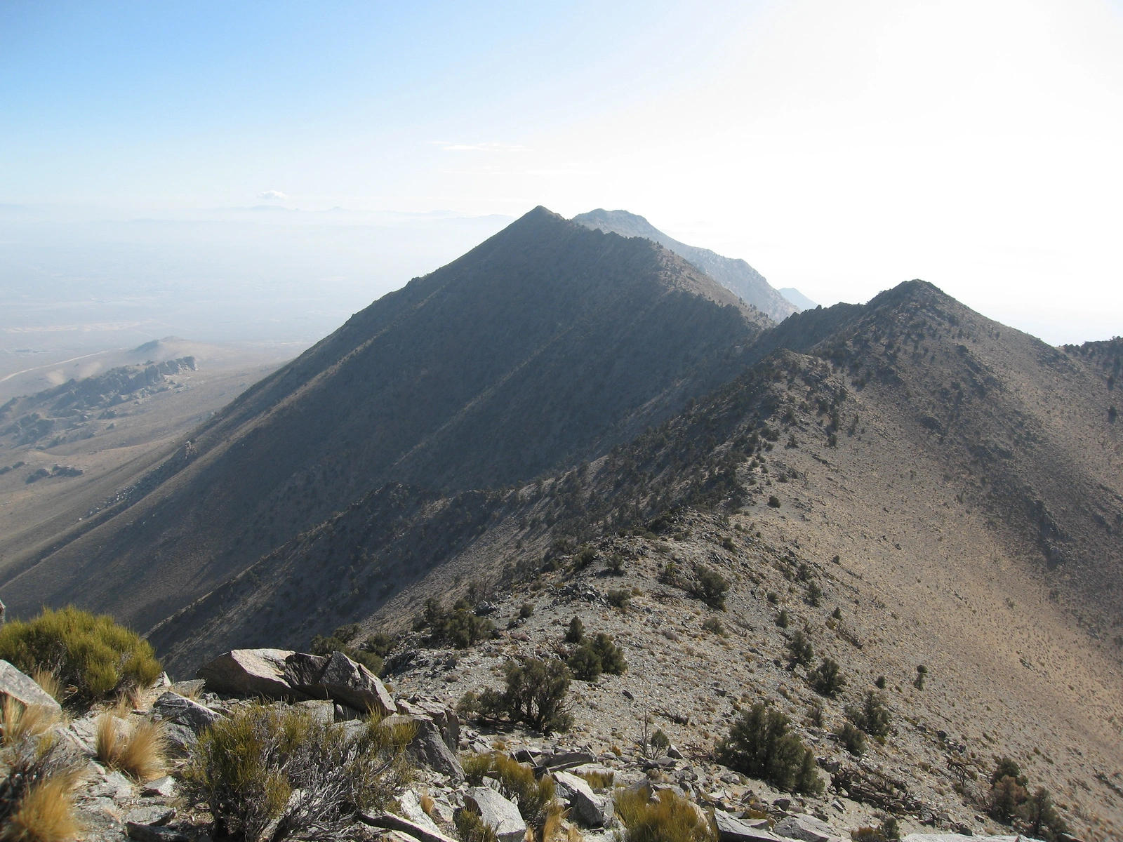
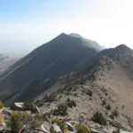
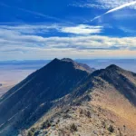
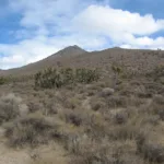
Ridge on the way to Backus Peak, photo by Kathy Wing
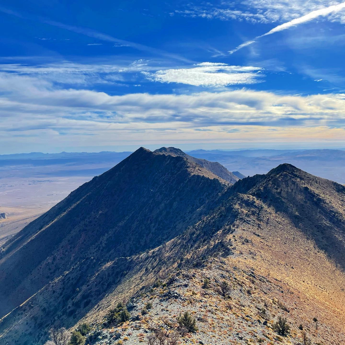
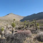
Russel, taken from Backus, photo by Sunny Yi
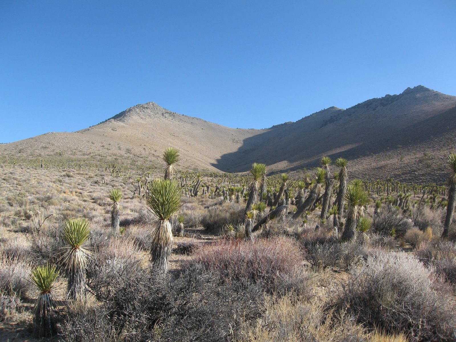
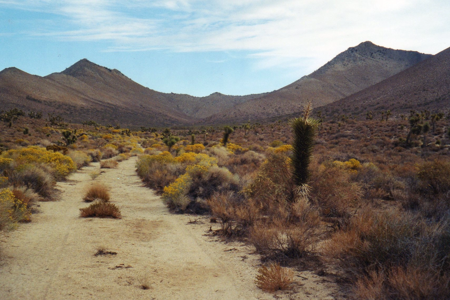
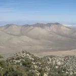
Russell Peak with Backus, photo by Kathy Wing
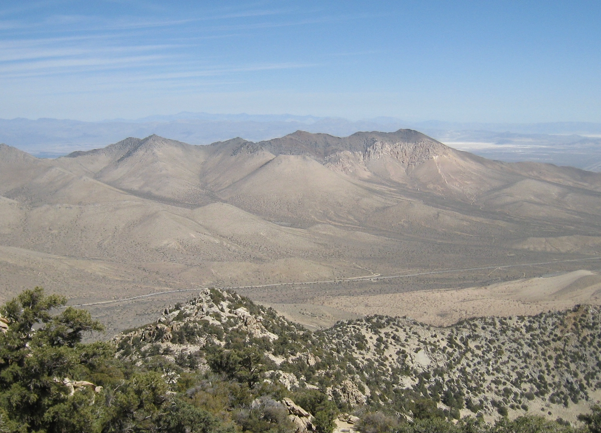
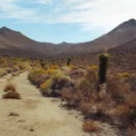
Russell Peak, taken from Scodie, photo by Kathy Wing
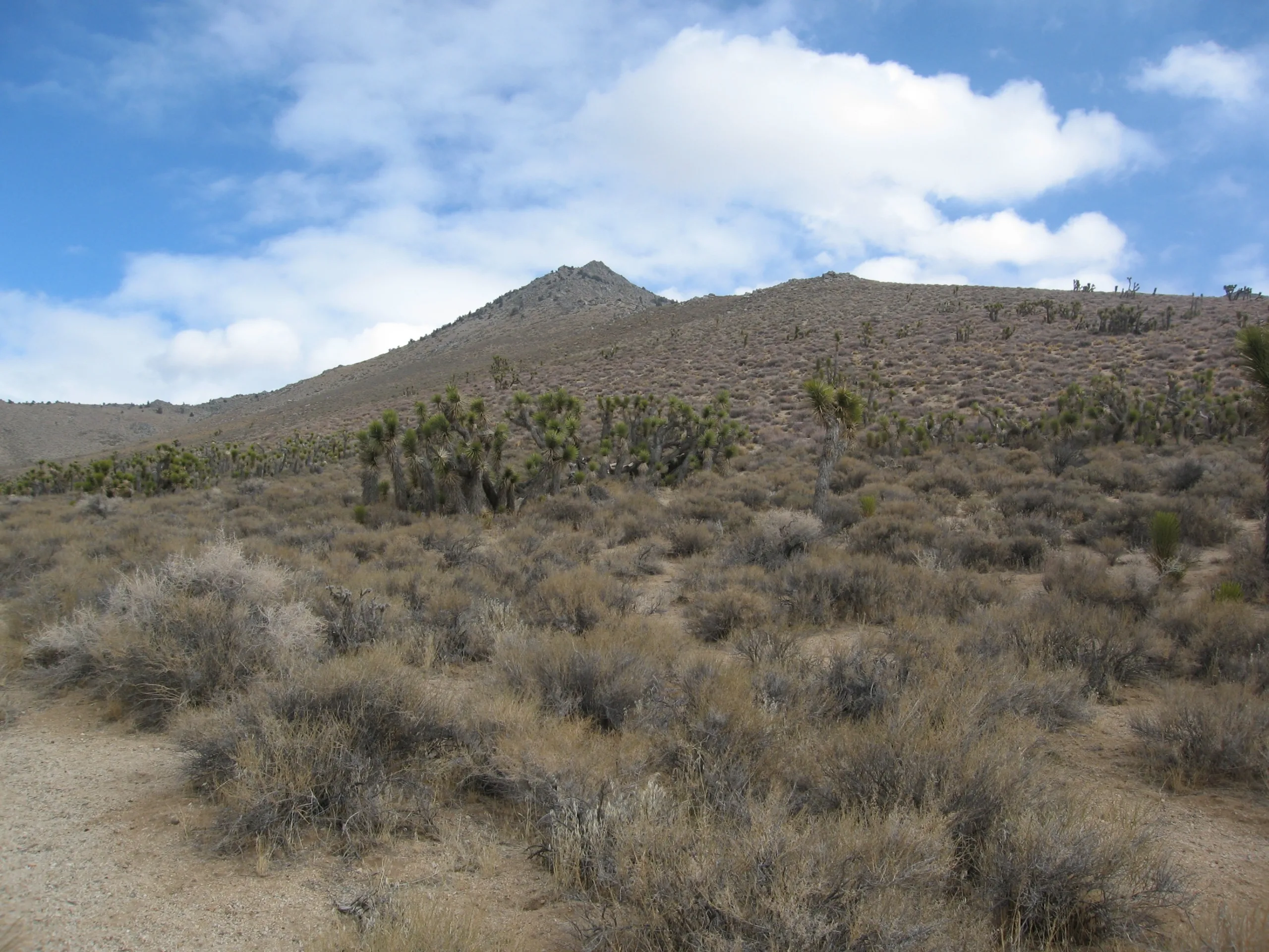
Russell Peak, photo by Janet Howell
Russell Peak, photo by Kathy Wing
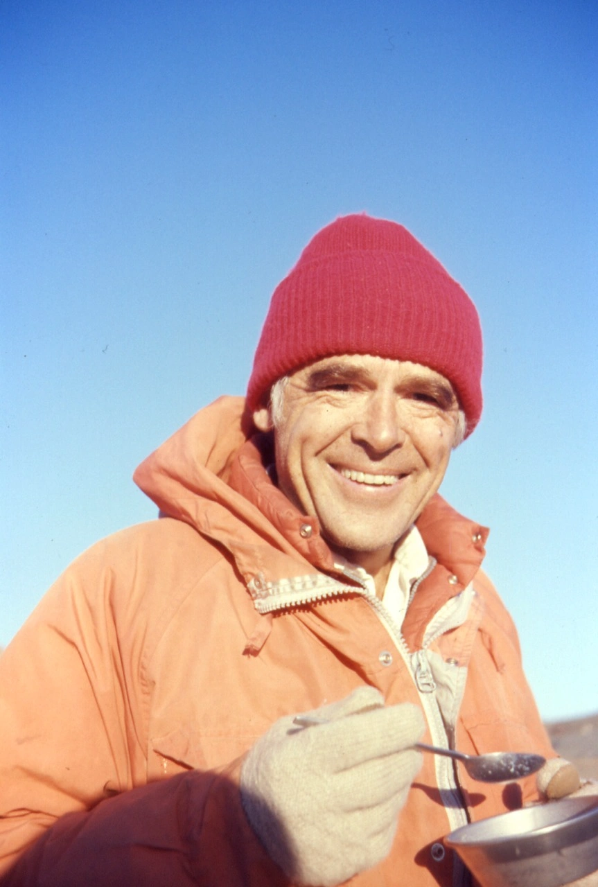
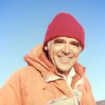
Bill Russell in 1976, photo by Angeles Chapter Sierra Club Archives


Peakbagger.com

Nearest ranger station

NOAA Forecast

Google Earth


