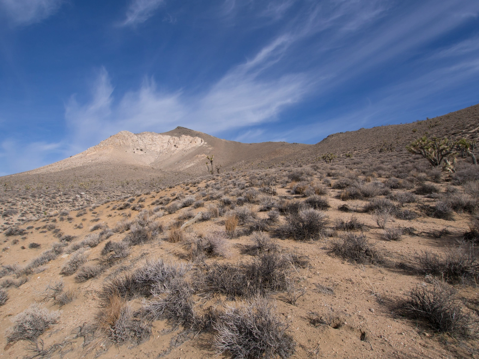
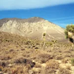
Backus Peak, photo by Kathy Wing
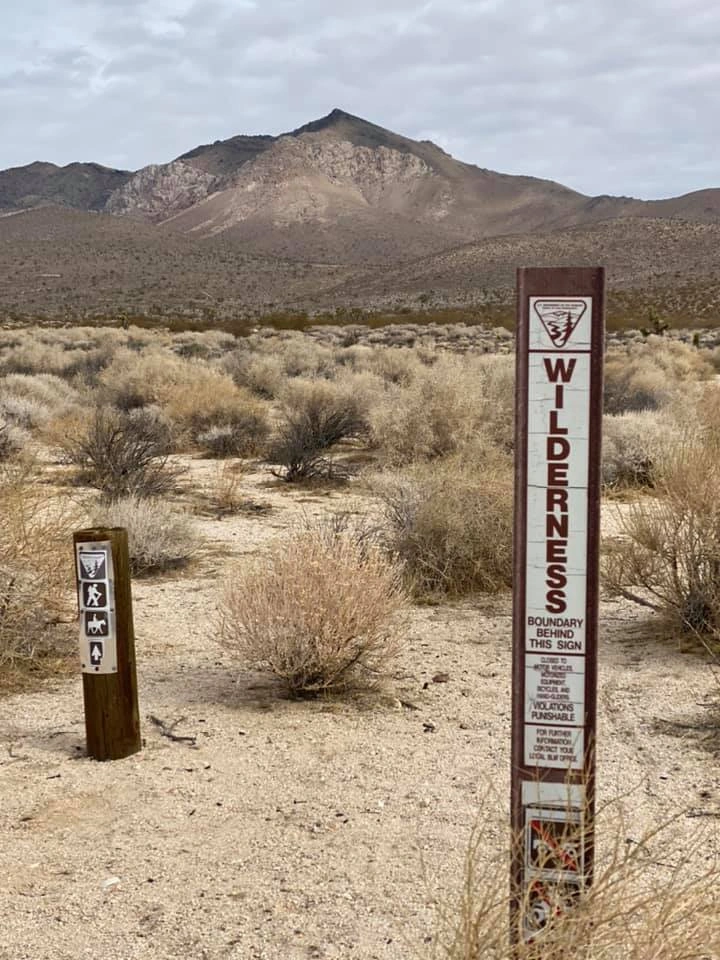
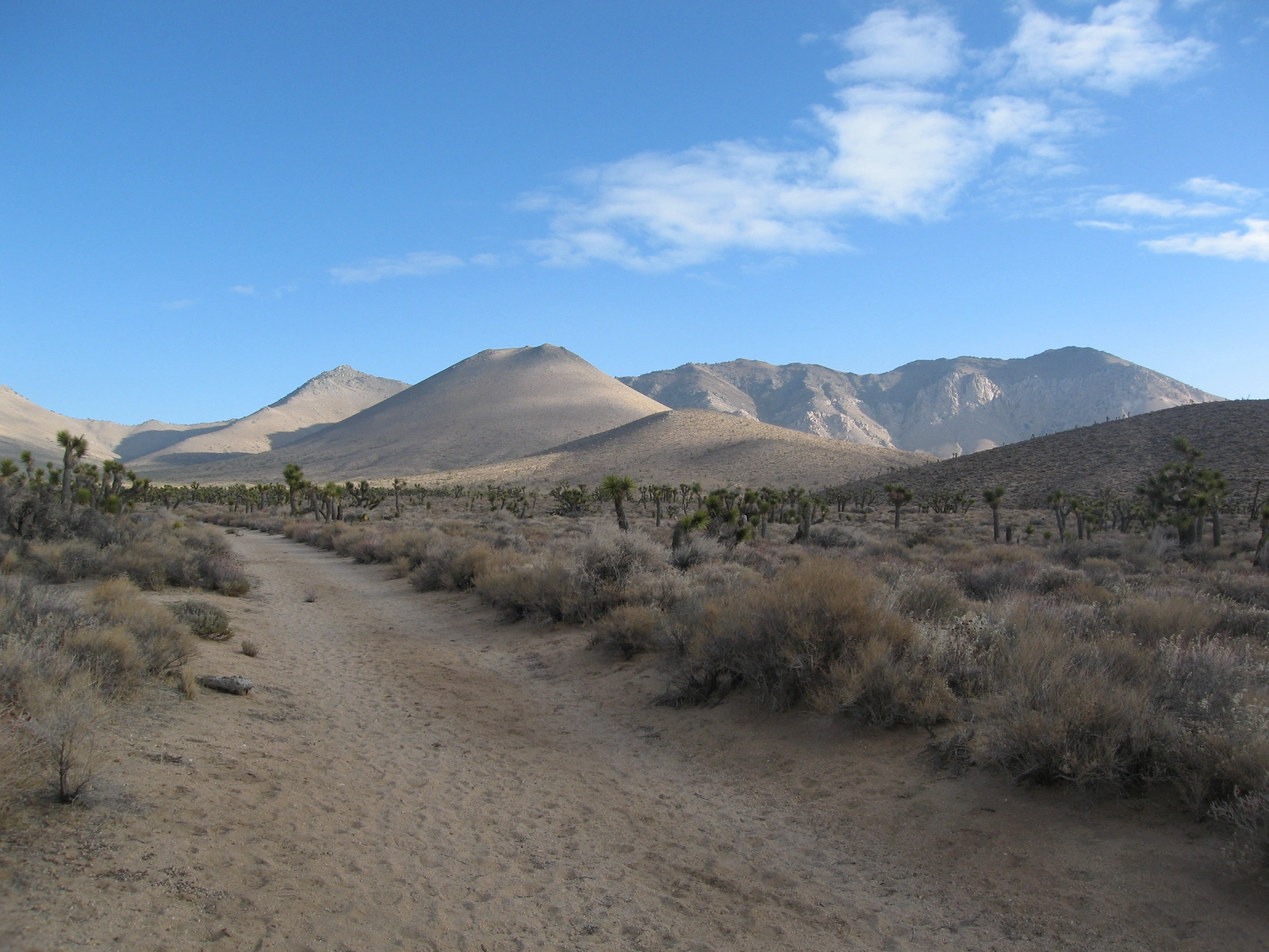
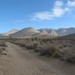
Backus, taken from trailhead, photo by Michael Sallwasser
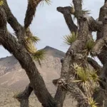
Backus Peak, photo by Janet Howell
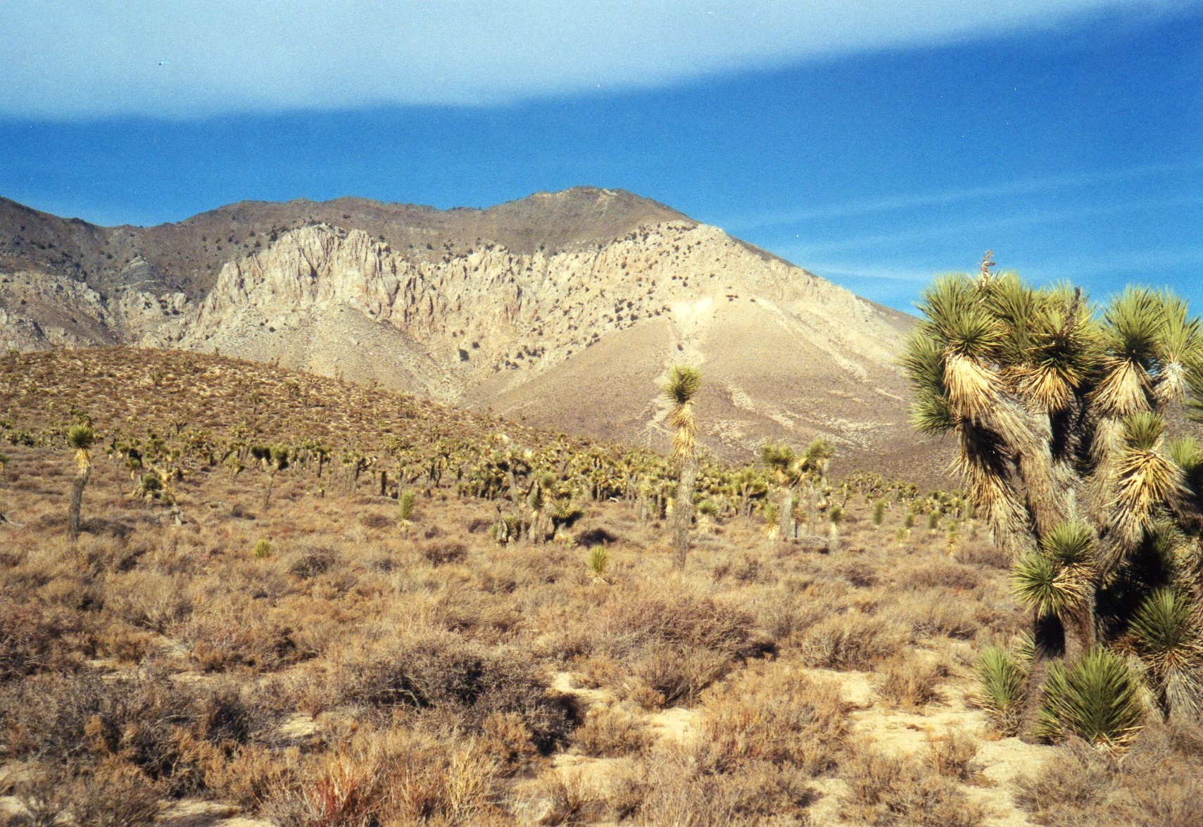
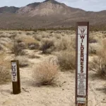
Backus Peak scenery, photo by Michael Sallwasser
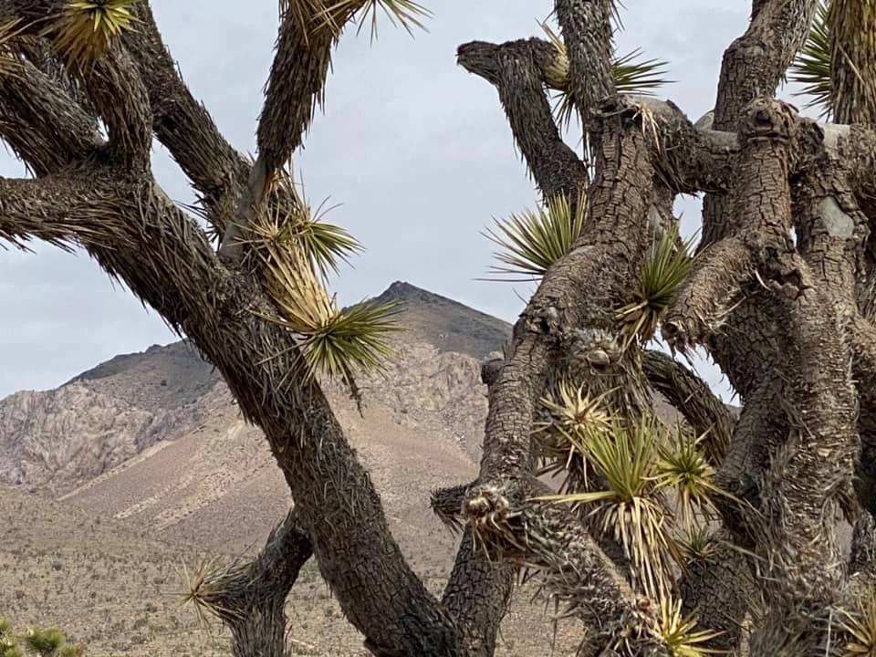
Backus Peak, photo by Kathy Wing

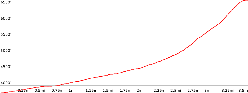

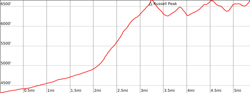

Peakbagger.com

Nearest ranger station

NOAA Forecast

Google Earth


